Medium airport · Oman
RAFO MasirahOOMA
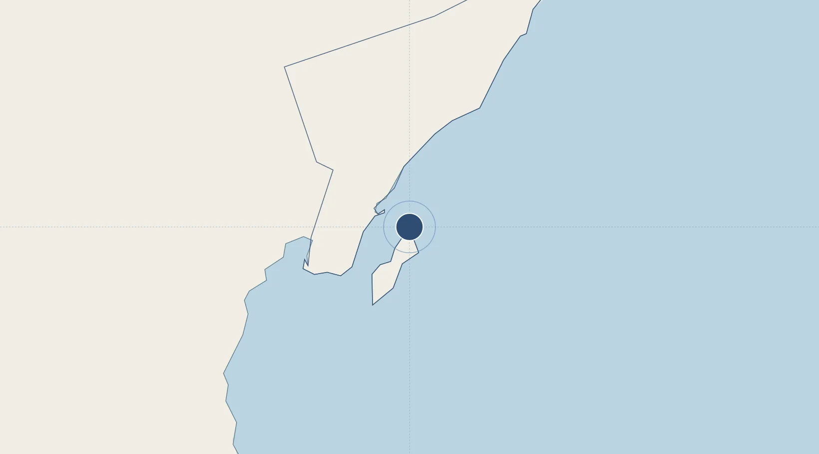
20.6754°, 58.8905°
10,005 ft
Longest runway
2
Runways
64 ft
Elevation
Runway & Layout

Radio Frequencies
TWR
118.15 MHz
GND
121.65 MHz
APP
121.3 MHz
POST
30.885 MHz
CMD POST
Navaids
MR NDB Masirah 343 kHz
MRH VORTAC Masirah Island 113.80 MHz
Runways · 2
| Runway | Dimensions | Surface | True heading | Lit |
|---|---|---|---|---|
| 17/35 | 10,005 × 148ft | Asphalt | 167° | ✓ |
| 07/25 | 8,446 × 148ft | Asphalt | 067° | ✓ |
Airport Specifications
IATA code
MSH
ICAO code
OOMA
Airport class
Medium airport
Scheduled service
No
Runway surface
Asphalt
Served city
Masirah
Location
Nearby Logistics Neighbours
Airports
- 1Duqm International Airport185 km
- 2Ras al Hadd Airport197 km
- 3Muscat International Airport331 km
- 4Mussanah Airport360 km
- 5Aradah Airport381 km
Cities
- 1Duqm165 km
- 2Sur227 km
- 3Qalhat230 km
- 4Port Sultan328 km
- 5Mina Sultan Qaboos, Muscat329 km
Ports
- 1Duqm166 km
- 2Qalhat Lng Terminal229 km
- 3Mina Qabus330 km
- 4Mina Al Fahl331 km
- 5Port Of Sohar486 km
Trade Zones
- 1Duqm Special Economic Zone167 km
- 2Knowledge Oasis Muscat330 km
- 3Khazaen Economic City341 km
- 4Sohar Free Zone487 km
- 5Al Ain Industrial City504 km
DatabookThe Record of Consolidated Knowledge
Oman beyond logistics?