Medium airport · Saudi Arabia
Aradah AirportOE55
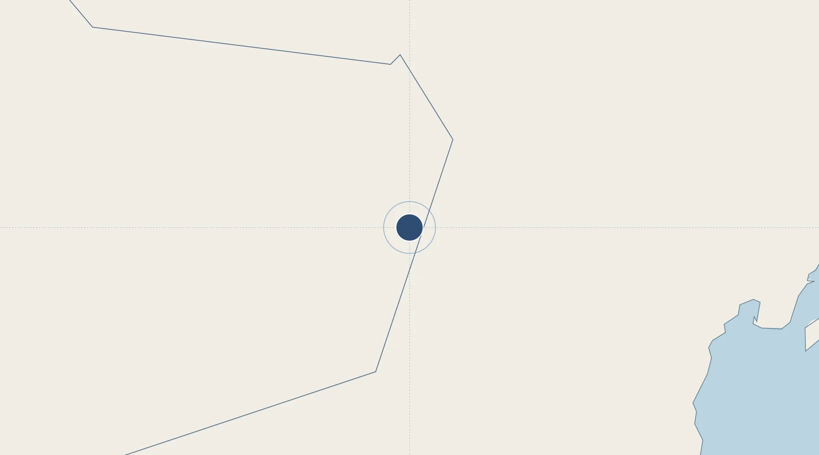
21.2270°, 55.2673°
6,915 ft
Longest runway
1
Runways
699 ft
Elevation
Runway & Layout

Runways · 1
| Runway | Dimensions | Surface | True heading | Lit |
|---|---|---|---|---|
| 03/21 | 6,915 × 99ft | Asphalt | 034° | ✓ |
Airport Specifications
ICAO code
OEAD
Airport class
Medium airport
Scheduled service
No
Runway surface
Asphalt
Served city
Ardah
Location
Nearby Logistics Neighbours
Airports
- 1Duqm International Airport313 km
- 2Al Ain International Airport339 km
- 3Al Dhafra Air Base344 km
- 4Mussanah Airport352 km
- 5Zayed International Airport363 km
Cities
- 1Duqm309 km
- 2Esnnad354 km
- 3Musaffah360 km
- 4Umm Al Nar365 km
- 5Khazaen367 km
Ports
- 1Duqm308 km
- 2Umm An Nar367 km
- 3Abu Zaby376 km
- 4Port Of Sohar392 km
- 5Mubarraz Oil Terminal399 km
Trade Zones
- 1Duqm Special Economic Zone309 km
- 2Al Ain Industrial City319 km
- 3Industrial City of Abu Dhabi (ICAD)349 km
- 4Abu Dhabi Airport Free Zone (ADAFZ)362 km
- 5Masdar City Free Zone363 km
DatabookThe Record of Consolidated Knowledge
Saudi Arabia beyond logistics?