Transport Functions
Port
Hub Profile
Place type
Regional capital
Region
Southeastern Governorate
Population
71,152
Time zone
Asia/Muscat
Elevation
6 m
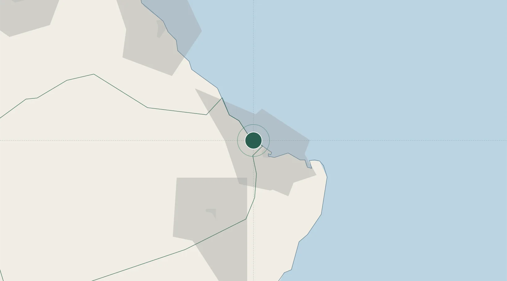
Location
Nearby Logistics Neighbours
Cities
- 1Qalhat9 km
- 2Port Sultan135 km
- 3Mina Sultan Qaboos, Muscat140 km
- 4Mina' al Fahl144 km
- 5Fahal149 km
Ports
- 1Qalhat Lng Terminal5 km
- 2Mina Qabus140 km
- 3Mina Al Fahl144 km
- 4Chah Bahar315 km
- 5Port Of Sohar353 km
Airports
- 1Ras al Hadd Airport54 km
- 2Muscat International Airport158 km
- 3RAFO Masirah227 km
- 4Mussanah Airport227 km
- 5Chabahar Konarak International Airport325 km
Trade Zones
- 1Knowledge Oasis Muscat165 km
- 2Khazaen Economic City196 km
- 3Chābahār Trade Industrial Free Zone321 km
- 4Sohar Free Zone355 km
- 5Duqm Special Economic Zone377 km
DatabookThe Record of Consolidated Knowledge
Oman beyond logistics?