UN/LOCODE hub · Oman
OMKDP

Khazaen

23.5500°, 57.8000°
2
Transport functions

Transport Functions

Road
Multimodal
UN/LOCODE

Hub Profile

Region
BJ
GeoNames

Location

Location of OMKDP
Natural Earth 10m (public domain) · BJ · OMKDP · 23.55, 57.80GoogleOSMYandex

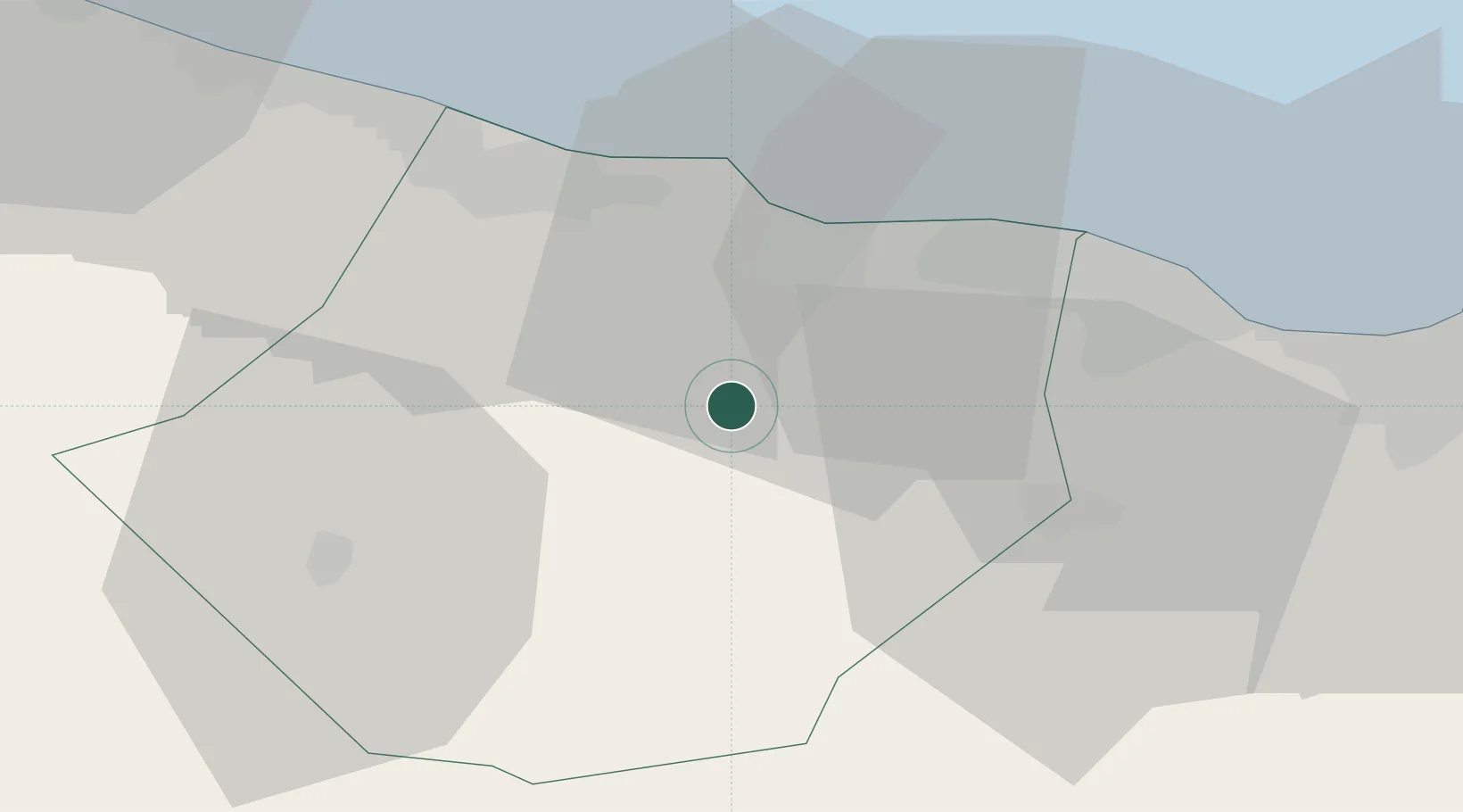
Nearby Logistics Neighbours

Cities
  1. 1Muscat22 km
  2. 2Al Mudayq41 km
  3. 3Al-Suwaiq50 km
  4. 4Fahal73 km
  5. 5Mina' al Fahl74 km
Nearest neighbours — logibook spatial index (haversine) over the source coordinates
Ports
  1. 1Mina Al Fahl74 km
  2. 2Mina Qabus80 km
  3. 3Port Of Sohar160 km
  4. 4Qalhat Lng Terminal190 km
  5. 5Jask232 km
Nearest neighbours — logibook spatial index (haversine) over the source coordinates
Airports
  1. 1Mussanah Airport33 km
  2. 2Muscat International Airport50 km
  3. 3Suhar International Airport151 km
  4. 4Fujairah International Airport229 km
  5. 5Jask Airport234 km
Nearest neighbours — logibook spatial index (haversine) over the source coordinates
Trade Zones
  1. 1Khazaen Economic City2 km
  2. 2Knowledge Oasis Muscat38 km
  3. 3Sohar Free Zone162 km
  4. 4Al Ain Industrial City227 km
  5. 5Fujairah Creative City230 km
Nearest neighbours — logibook spatial index (haversine) over the source coordinates
DatabookThe Record of Consolidated Knowledge
Oman beyond logistics?
Browse databook

All Sources

LocationsUN/LOCODE
UN/LOCODE — free
Portsthe NGA World Port Index
Public domain (US gov)
AirportsOurAirports
Public domain
Trade Zonesthe World Bank SEZ database
CC BY 4.0
Trade ZonesOpen Zone Map
CC BY
← Oman locations