Transport Functions
Port
Road
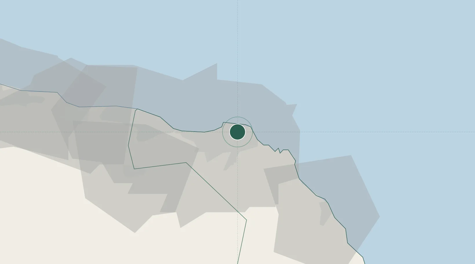
Location
Nearby Logistics Neighbours
Cities
- 1Mina' al Fahl4 km
- 2Port Sultan9 km
- 3Fahal9 km
- 4Muscat59 km
- 5Khazaen77 km
Ports
- 1Mina Al Fahl4 km
- 2Qalhat Lng Terminal135 km
- 3Port Of Sohar219 km
- 4Jask238 km
- 5Chah Bahar278 km
Airports
- 1Muscat International Airport27 km
- 2Mussanah Airport108 km
- 3Ras al Hadd Airport194 km
- 4Suhar International Airport213 km
- 5Jask Airport239 km
Trade Zones
- 1Knowledge Oasis Muscat39 km
- 2Khazaen Economic City77 km
- 3Sohar Free Zone222 km
- 4Fujairah Creative City281 km
- 5Fujairah Free Zone282 km
DatabookThe Record of Consolidated Knowledge
Oman beyond logistics?