UN/LOCODE hub · Norway
NOHOG

Høgset

67.1333°, 15.0167°
2
Transport functions

Transport Functions

Port
Road
UN/LOCODE

Hub Profile

Region
18
GeoNames

Location

Location of NOHOG
Natural Earth 10m (public domain) · 18 · NOHOG · 67.13, 15.02GoogleOSMYandex

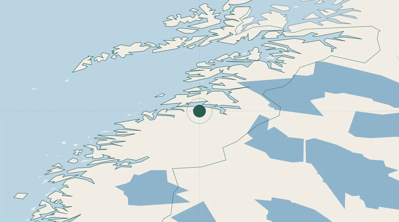
Nearby Logistics Neighbours

Cities
  1. 1Misvær2 km
  2. 2Rognan16 km
  3. 3Fauske20 km
  4. 4Vikan22 km
  5. 5Finneid22 km
Nearest neighbours — logibook spatial index (haversine) over the source coordinates
Ports
  1. 1Rognan17 km
  2. 2Fauske21 km
  3. 3Bodo33 km
  4. 4Lakselv35 km
  5. 5Kjerringoy45 km
Nearest neighbours — logibook spatial index (haversine) over the source coordinates
Airports
  1. 1Bodø Airport32 km
  2. 2Mo i Rana Airport, Røssvoll91 km
  3. 3Værøy Heliport114 km
  4. 4Svolvær Airport, Helle124 km
  5. 5Leknes Airport128 km
Nearest neighbours — logibook spatial index (haversine) over the source coordinates
Trade Zones
  1. 1Oulu Port Free Warehouse Area525 km
  2. 2Turku Free Zone822 km
  3. 3Stockholm Free Zone879 km
  4. 4Freeport of Hanko900 km
  5. 5Port of Hamina-Kotka941 km
Nearest neighbours — logibook spatial index (haversine) over the source coordinates
DatabookThe Record of Consolidated Knowledge
Norway beyond logistics?
Browse databook

All Sources

LocationsUN/LOCODE
UN/LOCODE — free
Portsthe NGA World Port Index
Public domain (US gov)
AirportsOurAirports
Public domain
Trade Zonesthe World Bank SEZ database
CC BY 4.0
Trade ZonesOpen Zone Map
CC BY
← Norway locations