Channel & Berth Profile
Facilities & Capabilities
Container—
Ro-Ro—
Liquid bulk—
Dry bulk—
Oil terminal—
Break bulk—
Dry dock—
Repairs—
Bunkering—
Rail link—
Dangerous cargo—
ISPS security—
Harbour Specifications
Harbour size
Very Small
Harbour type
Coastal (Natural)
Shelter
Fair
Water body
Norwegian Sea; North Atlantic Ocean
Overhead limit
No
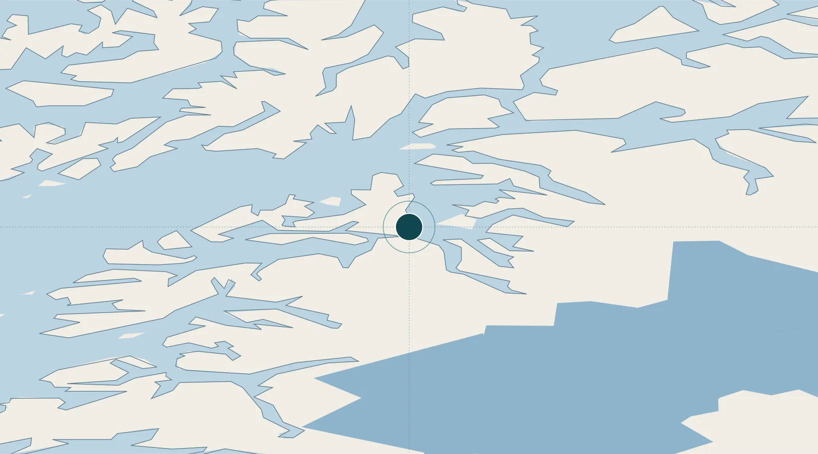
Location
Nearby Logistics Neighbours
Ports
- 1Tranoy22 km
- 2Lodingen41 km
- 3Litle Ballangen47 km
- 4Brettesnes55 km
- 5Ulvik57 km
Cities
- 1Evenestangen5 km
- 2Innhavet12 km
- 3Kjøpsvik12 km
- 4Bognes19 km
- 5Mørsvikbotn40 km
Airports
- 1Harstad/Narvik Airport55 km
- 2Svolvær Airport, Helle62 km
- 3Stokmarknes Airport, Skagen73 km
- 4Leknes Airport103 km
- 5Bodø Airport113 km
Trade Zones
- 1Oulu Port Free Warehouse Area534 km
- 2Turku Free Zone895 km
- 3Free Zone of Lappeenranta965 km
- 4Freeport of Hanko971 km
- 5Stockholm Free Zone973 km
DatabookThe Record of Consolidated Knowledge
Norway beyond logistics?