UN/LOCODE hub · Norway
NOFSV

Festvåg

67.4333°, 14.7667°
1
Transport functions

Transport Functions

Port
UN/LOCODE

Hub Profile

Place type
Locality
GeoNames
Region
Nordland
GeoNames
Time zone
Europe/Oslo
GeoNames

Location

Location of NOFSV
Natural Earth 10m (public domain) · Nordland · NOFSV · 67.43, 14.77GoogleOSMYandex

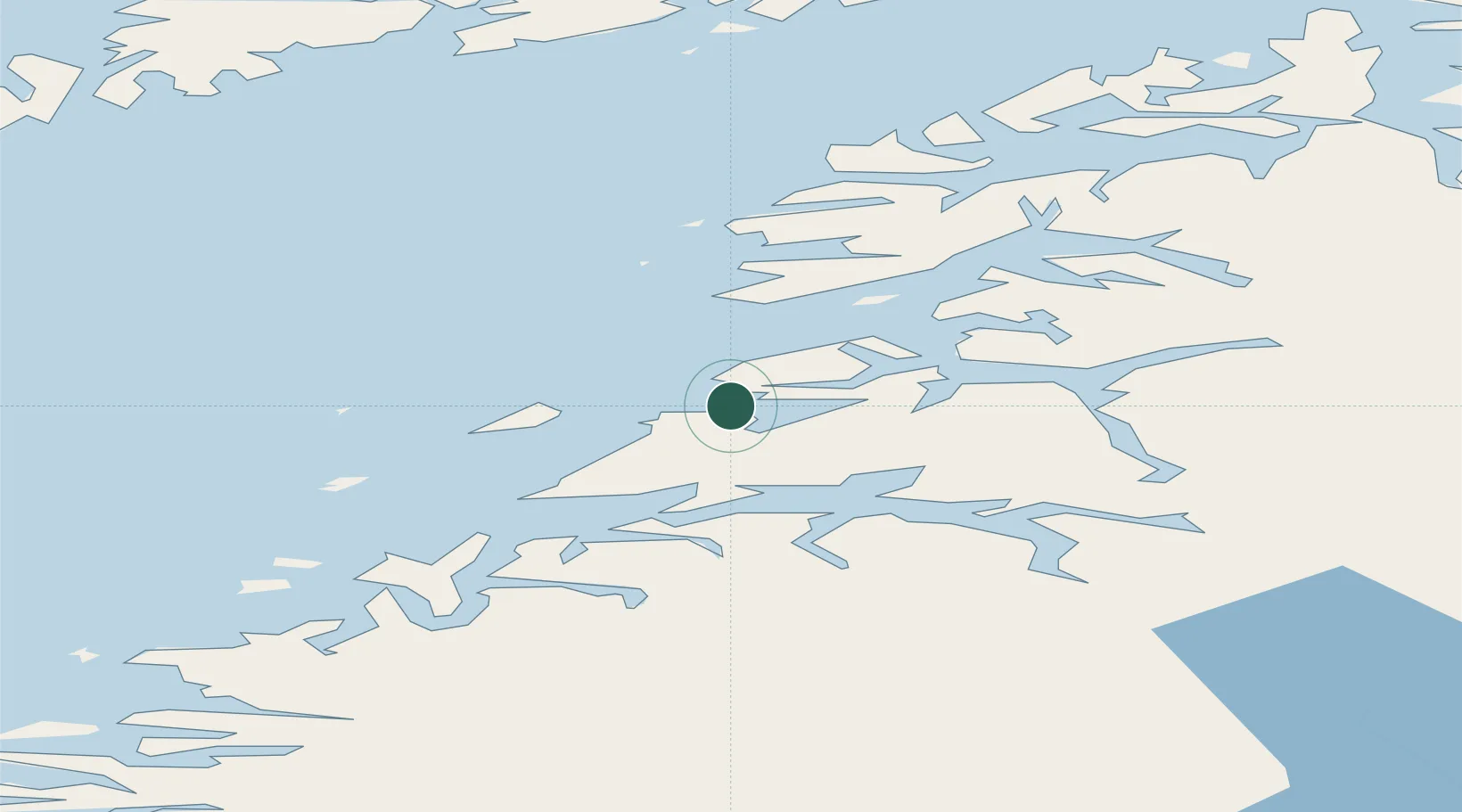
Nearby Logistics Neighbours

Cities
  1. 1Misten2 km
  2. 2Kjerringøy9 km
  3. 3Kvalvika22 km
  4. 4Bodø24 km
  5. 5Vikan28 km
Nearest neighbours — logibook spatial index (haversine) over the source coordinates
Ports
  1. 1Kjerringoy10 km
  2. 2Bodo24 km
  3. 3Fauske34 km
  4. 4Lakselv36 km
  5. 5Rognan45 km
Nearest neighbours — logibook spatial index (haversine) over the source coordinates
Airports
  1. 1Bodø Airport25 km
  2. 2Værøy Heliport90 km
  3. 3Svolvær Airport, Helle90 km
  4. 4Leknes Airport94 km
  5. 5Røst Airport114 km
Nearest neighbours — logibook spatial index (haversine) over the source coordinates
Trade Zones
  1. 1Oulu Port Free Warehouse Area548 km
  2. 2Turku Free Zone857 km
  3. 3Stockholm Free Zone914 km
  4. 4Freeport of Hanko934 km
  5. 5Port of Hamina-Kotka973 km
Nearest neighbours — logibook spatial index (haversine) over the source coordinates
DatabookThe Record of Consolidated Knowledge
Norway beyond logistics?
Browse databook

All Sources

LocationsUN/LOCODE
UN/LOCODE — free
Portsthe NGA World Port Index
Public domain (US gov)
AirportsOurAirports
Public domain
Trade Zonesthe World Bank SEZ database
CC BY 4.0
Trade ZonesOpen Zone Map
CC BY
← Norway locations