Transport Functions
Port
Hub Profile
Place type
Locality
Region
Nordland
Time zone
Europe/Oslo
Elevation
100 m
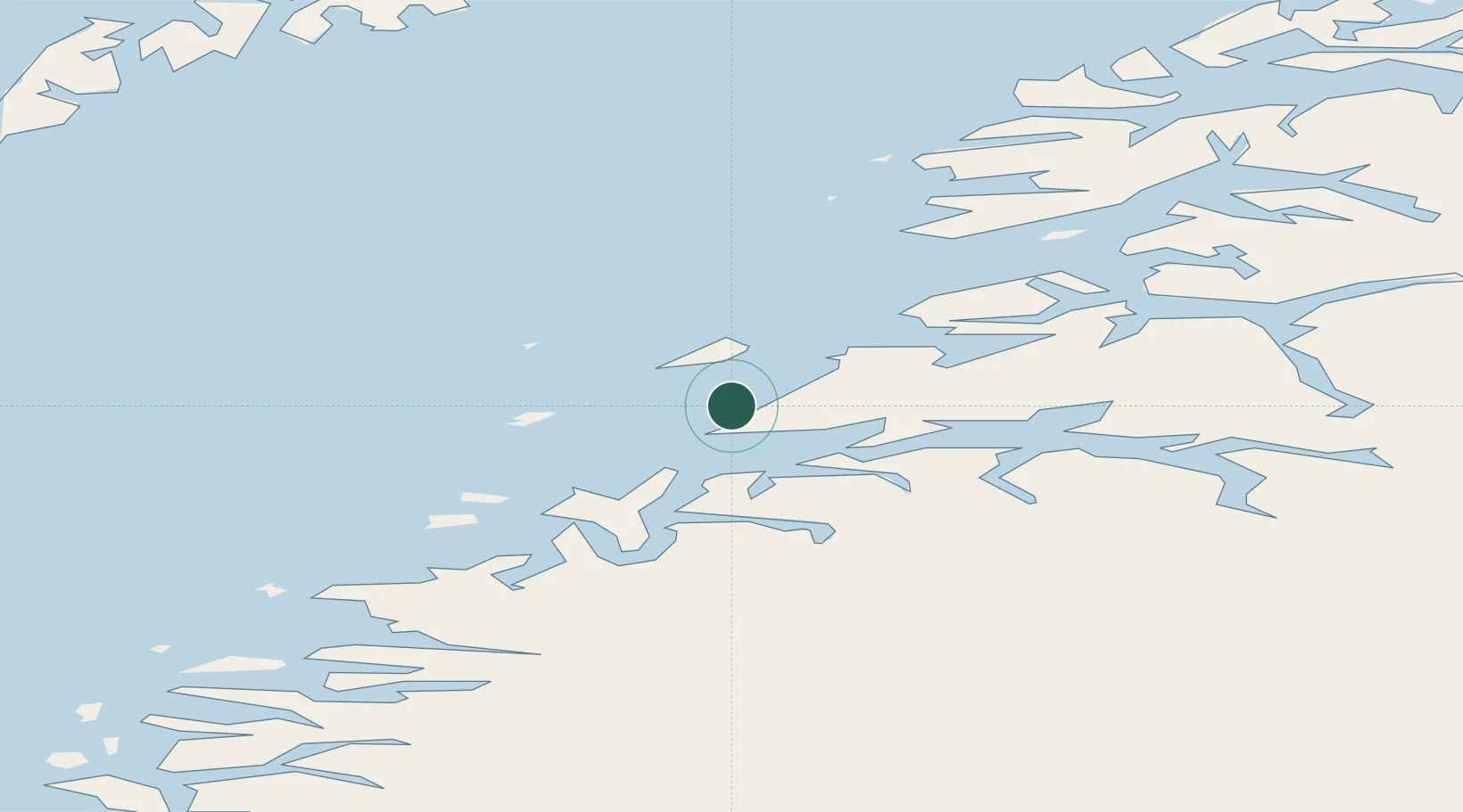
Location
Nearby Logistics Neighbours
Ports
- 1Bodo2 km
- 2Kjerringoy30 km
- 3Fauske44 km
- 4Rognan49 km
- 5Lakselv52 km
Airports
- 1Bodø Airport4 km
- 2Værøy Heliport81 km
- 3Leknes Airport100 km
- 4Røst Airport101 km
- 5Mo i Rana Airport, Røssvoll104 km
Trade Zones
- 1Oulu Port Free Warehouse Area557 km
- 2Turku Free Zone852 km
- 3Stockholm Free Zone903 km
- 4Freeport of Hanko929 km
- 5Port of Hamina-Kotka973 km
DatabookThe Record of Consolidated Knowledge
Norway beyond logistics?