Small airport · Norway
Røst AirportENRS
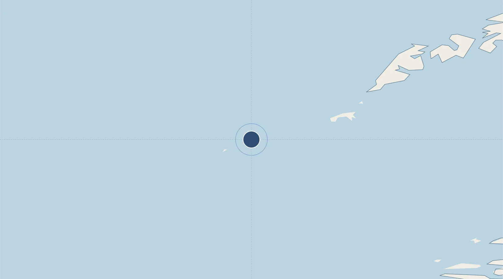
67.5265°, 12.1016°
3,386 ft
Longest runway
1
Runways
7 ft
Elevation
Runway & Layout

Navaids
RS VOR-DME Roest 113.50 MHz
Runways · 1
| Runway | Dimensions | Surface | True heading | Lit |
|---|---|---|---|---|
| 02/20 | 3,386 × 98ft | ASPH | 026° | — |
Airport Specifications
IATA code
RET
ICAO code
ENRS
Airport class
Small airport
Scheduled service
Yes
Runway surface
ASPH
Served city
Røst
Location
Nearby Logistics Neighbours
Airports
- 1Værøy Heliport30 km
- 2Leknes Airport94 km
- 3Bodø Airport101 km
- 4Svolvær Airport, Helle134 km
- 5Mo i Rana Airport, Røssvoll161 km
Cities
- 1Røst2 km
- 2Værøy29 km
- 3Å i Lofoten54 km
- 4Moskenes56 km
- 5Helligvær63 km
Trade Zones
- 1Oulu Port Free Warehouse Area657 km
- 2Turku Free Zone927 km
- 3Stockholm Free Zone956 km
- 4Freeport of Hanko1004 km
- 5Paldiski Free Zone1084 km
DatabookThe Record of Consolidated Knowledge
Norway beyond logistics?