Transport Functions
Port
Hub Profile
Region
18
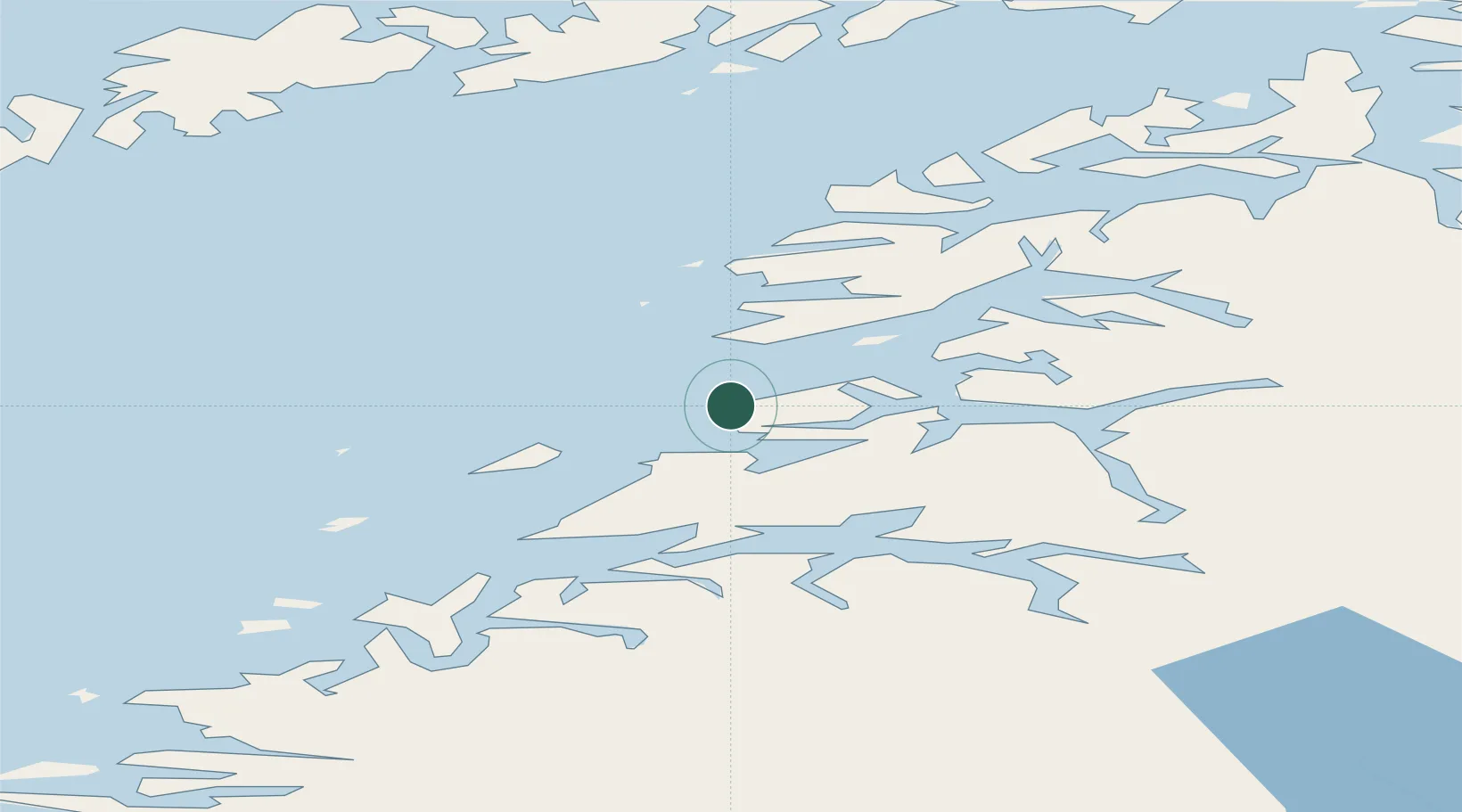
Location
Nearby Logistics Neighbours
Ports
- 1Bodo31 km
- 2Lakselv39 km
- 3Fauske40 km
- 4Rognan53 km
- 5Skrova Havn72 km
Airports
- 1Bodø Airport32 km
- 2Svolvær Airport, Helle81 km
- 3Leknes Airport86 km
- 4Værøy Heliport88 km
- 5Røst Airport113 km
Trade Zones
- 1Oulu Port Free Warehouse Area552 km
- 2Turku Free Zone865 km
- 3Stockholm Free Zone923 km
- 4Freeport of Hanko942 km
- 5Port of Hamina-Kotka979 km
DatabookThe Record of Consolidated Knowledge
Norway beyond logistics?