Transport Functions
Port
Hub Profile
Place type
Populated place
Region
Nordland
Time zone
Europe/Oslo
Elevation
20 m
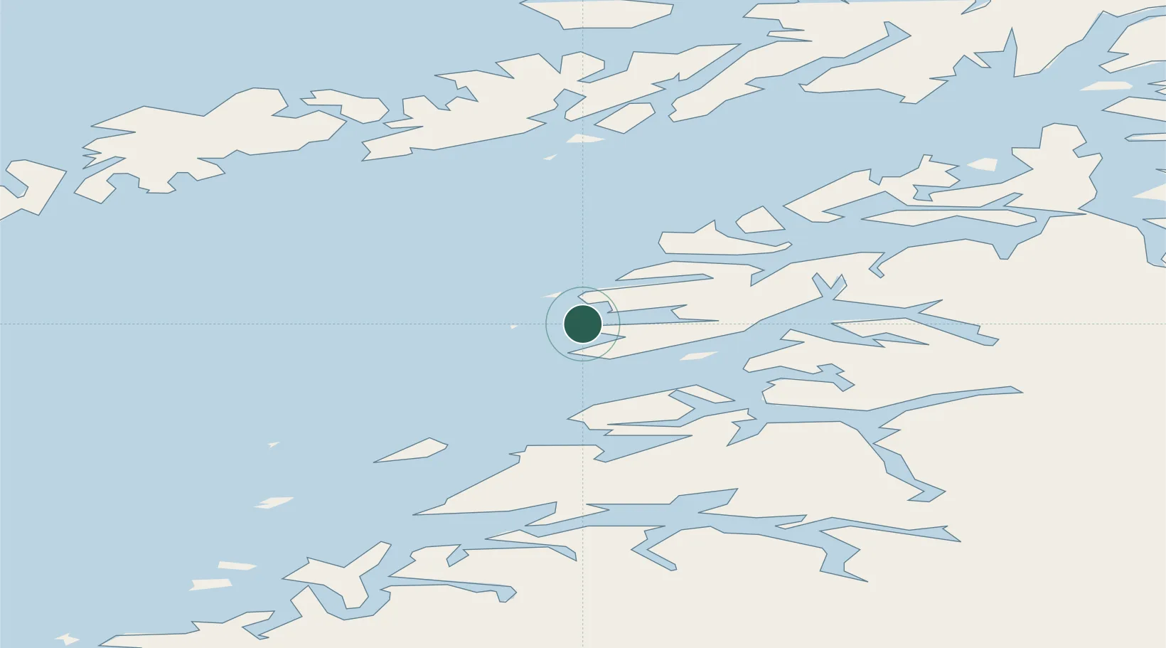
Location
Nearby Logistics Neighbours
Cities
- 1Kjerringøy24 km
- 2Bogøy26 km
- 3Stranda28 km
- 4Misten32 km
- 5Festvåg33 km
Ports
- 1Kjerringoy23 km
- 2Skrova Havn48 km
- 3Henningsvaer52 km
- 4Bodo53 km
- 5Lakselv55 km
Airports
- 1Bodø Airport54 km
- 2Svolvær Airport, Helle57 km
- 3Leknes Airport67 km
- 4Værøy Heliport87 km
- 5Stokmarknes Airport, Skagen95 km
Trade Zones
- 1Oulu Port Free Warehouse Area563 km
- 2Turku Free Zone886 km
- 3Stockholm Free Zone947 km
- 4Freeport of Hanko963 km
- 5Port of Hamina-Kotka997 km
DatabookThe Record of Consolidated Knowledge
Norway beyond logistics?