Transport Functions
Port
Hub Profile
Place type
Populated place
Region
Nordland
Time zone
Europe/Oslo
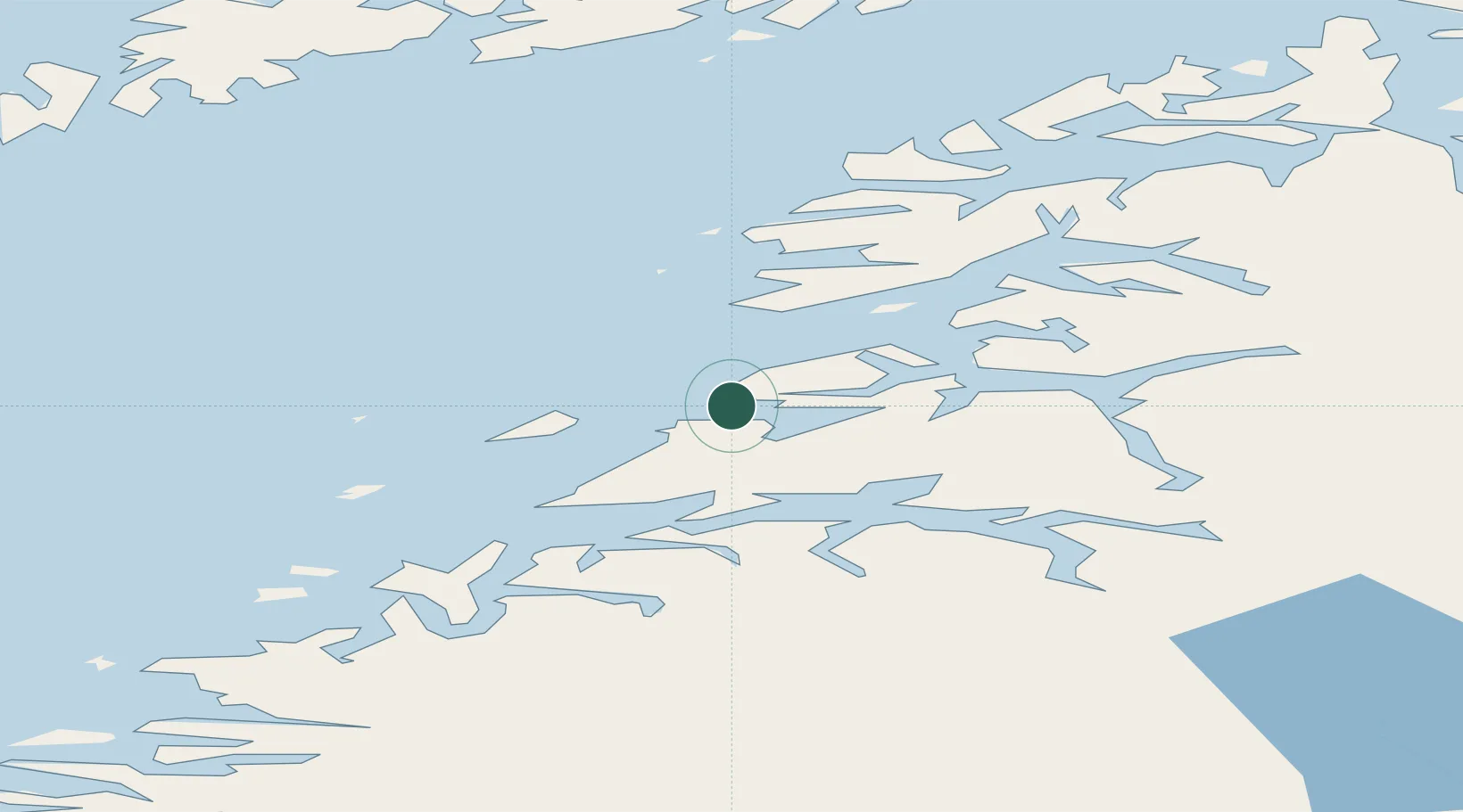
Location
Nearby Logistics Neighbours
Cities
- 1Festvåg2 km
- 2Kjerringøy8 km
- 3Kvalvika22 km
- 4Bodø24 km
- 5Vikan29 km
Ports
- 1Kjerringoy8 km
- 2Bodo24 km
- 3Fauske36 km
- 4Lakselv38 km
- 5Rognan48 km
Airports
- 1Bodø Airport26 km
- 2Værøy Heliport88 km
- 3Svolvær Airport, Helle88 km
- 4Leknes Airport91 km
- 5Røst Airport112 km
Trade Zones
- 1Oulu Port Free Warehouse Area550 km
- 2Turku Free Zone859 km
- 3Stockholm Free Zone916 km
- 4Freeport of Hanko936 km
- 5Port of Hamina-Kotka975 km
DatabookThe Record of Consolidated Knowledge
Norway beyond logistics?