Transport Functions
Port
Rail
Road
Airport
Hub Profile
Region
18
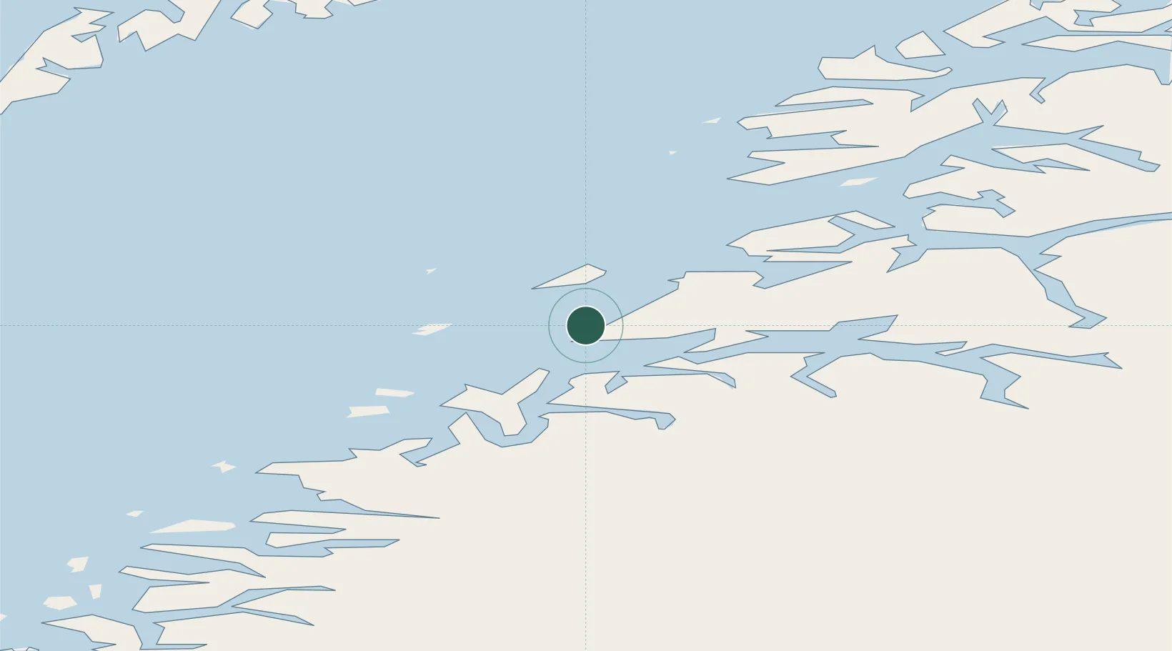
Location
Nearby Logistics Neighbours
Ports
- 1Kjerringoy32 km
- 2Fauske45 km
- 3Rognan49 km
- 4Lakselv53 km
- 5Ornes55 km
Airports
- 1Bodø Airport2 km
- 2Værøy Heliport81 km
- 3Røst Airport101 km
- 4Leknes Airport102 km
- 5Mo i Rana Airport, Røssvoll102 km
Trade Zones
- 1Oulu Port Free Warehouse Area557 km
- 2Turku Free Zone851 km
- 3Stockholm Free Zone902 km
- 4Freeport of Hanko928 km
- 5Port of Hamina-Kotka973 km
DatabookThe Record of Consolidated Knowledge
Norway beyond logistics?