Transport Functions
Port
Hub Profile
Region
18
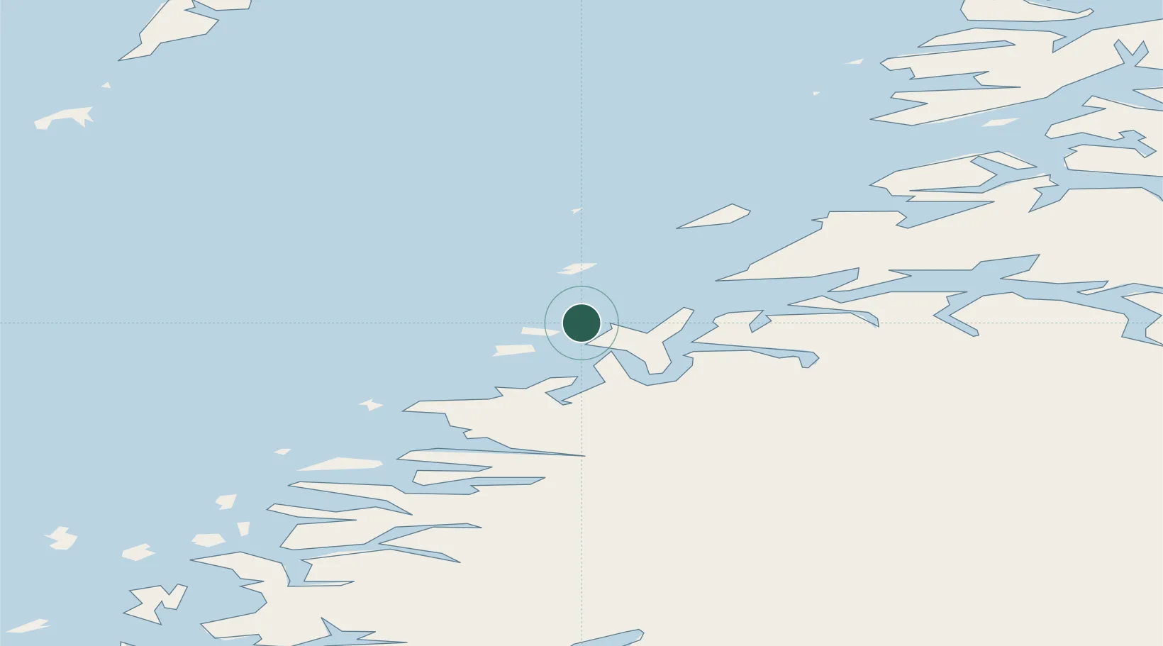
Location
Nearby Logistics Neighbours
Ports
- 1Bodo24 km
- 2Ornes32 km
- 3Glomfjord36 km
- 4Kjerringoy55 km
- 5Rognan61 km
Airports
- 1Bodø Airport22 km
- 2Værøy Heliport79 km
- 3Mo i Rana Airport, Røssvoll87 km
- 4Røst Airport92 km
- 5Leknes Airport114 km
Trade Zones
- 1Oulu Port Free Warehouse Area567 km
- 2Turku Free Zone845 km
- 3Stockholm Free Zone890 km
- 4Freeport of Hanko923 km
- 5Paldiski Free Zone1001 km
DatabookThe Record of Consolidated Knowledge
Norway beyond logistics?