Transport Functions
Port
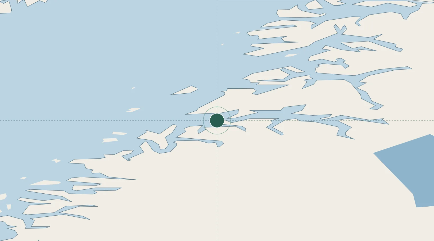
Hub Profile
Place type
Populated place
Region
Nordland
Time zone
Europe/Oslo
Elevation
1 m
Location
Nearby Logistics Neighbours
Ports
- 1Bodo12 km
- 2Fauske37 km
- 3Kjerringoy37 km
- 4Rognan38 km
- 5Lakselv48 km
Airports
- 1Bodø Airport11 km
- 2Værøy Heliport93 km
- 3Mo i Rana Airport, Røssvoll94 km
- 4Røst Airport111 km
- 5Leknes Airport113 km
Trade Zones
- 1Oulu Port Free Warehouse Area546 km
- 2Turku Free Zone839 km
- 3Stockholm Free Zone891 km
- 4Freeport of Hanko916 km
- 5Port of Hamina-Kotka960 km
DatabookThe Record of Consolidated Knowledge
Norway beyond logistics?