Channel & Berth Profile
Pilotage, Tugs & Services
Pilotage compulsoryYES
Pilotage availableYES
Pilotage advisableYES
Local assistanceYES
Tug assistanceYES
Salvage tugsYES
Potable waterNO
Diesel bunkersYES
MedicalYES
Garbage disposalNO
Facilities & Capabilities
ContainerNO
Ro-RoNO
Liquid bulkYES
Dry bulkNO
Oil terminalYES
Break bulkNO
Dry dock—
RepairsNO
BunkeringYES
Rail linkNO
Dangerous cargo—
ISPS securityYES
Harbour Specifications
Harbour size
Very Small
Harbour type
Open Roadstead
Shelter
Poor
Water body
Mediterranean Sea; North Atlantic Ocean
Tidal range
0.6 m
Overhead limit
No
Pilotage
Yes
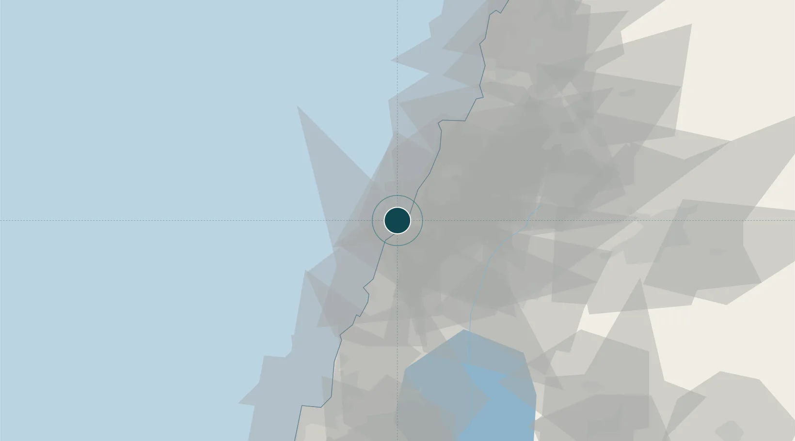
Location
Nearby Logistics Neighbours
DatabookThe Record of Consolidated Knowledge
Lebanon beyond logistics?