Transport Functions
Multimodal
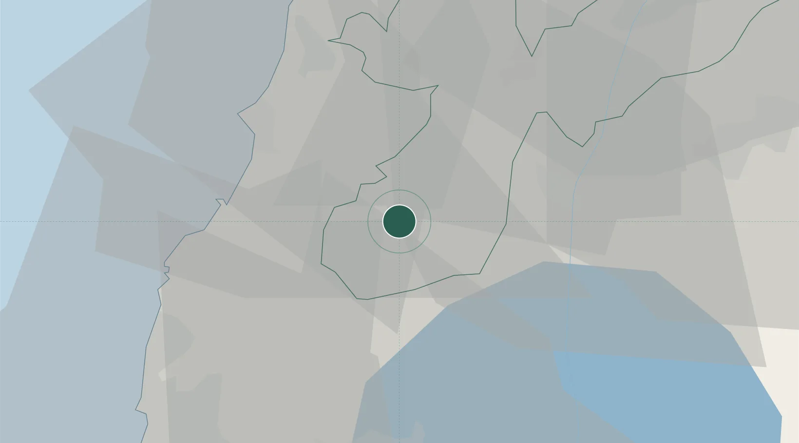
Hub Profile
Place type
Populated place
Region
Nabatîyé
Time zone
Asia/Beirut
Elevation
753 m
Location
Nearby Logistics Neighbours
Cities
- 1Gush Halav5 km
- 2Hazor25 km
- 3Akko39 km
- 4Tiberias41 km
- 5Shefar'am44 km
Ports
- 1Sayda39 km
- 2Sidon/zahrani Terminal43 km
- 3Haifa52 km
- 4Bayrut84 km
- 5Hadera88 km
Airports
Trade Zones
DatabookThe Record of Consolidated Knowledge
Lebanon beyond logistics?