Transport Functions
Port
Road
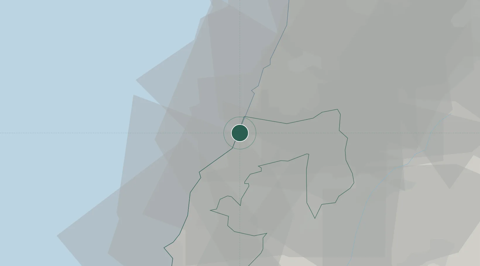
Location
Nearby Logistics Neighbours
Cities
- 1Bchamoun28 km
- 2Beirut42 km
- 3Gush Halav43 km
- 4Haddatha45 km
- 5Dora45 km
Ports
- 1Sidon/zahrani Terminal5 km
- 2Bayrut41 km
- 3Selaata86 km
- 4Haifa88 km
- 5Tarabulus109 km
Airports
Trade Zones
DatabookThe Record of Consolidated Knowledge
Lebanon beyond logistics?