Free Trade Zone · Syria
Damascus International Airport Free Zone Active
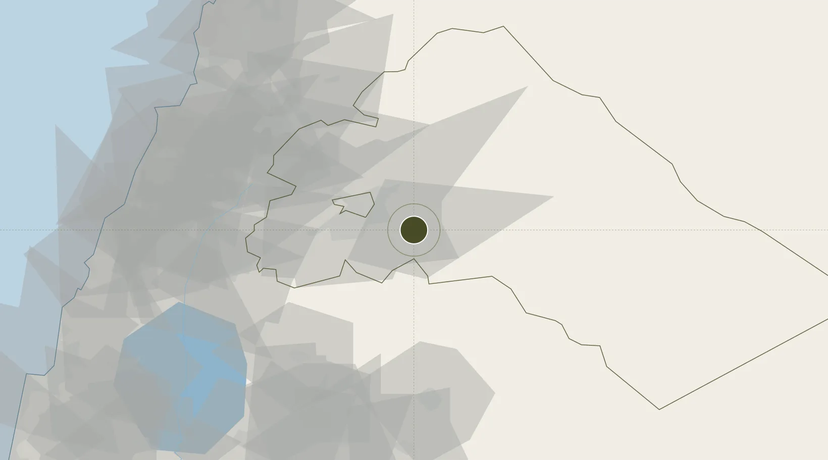
33.4104°, 36.5106°
1,819 ha
Zone area
108.1 km
Nearest port
0.5 km
Nearest airport
Gateway access
Zone profile
Zone type
Free Trade Zone
Region
Rif Dimashq
Status
Active
Management
Public
Operator
The General Establishment of Free Zones
Legal framework
Investment Law No. 10 (1991) and Its Amending Decrees No. 7 (2000) and Nos. 8 and 9 on January 27, 2007.
Location
Nearby Logistics Neighbours
Ports
- 1Sayda108 km
- 2Bayrut108 km
- 3Sidon/zahrani Terminal112 km
- 4Selaata125 km
- 5Tarabulus131 km
Airports
- 1Damascus International Airport1 km
- 2Khalkhalah Air Base37 km
- 3An Nasiriyah Air Base65 km
- 4Rayak Air Base69 km
- 5Rosh Pina Airport100 km
Cities
- 1Bekaa74 km
- 2Beit Shean Jordan Cargo Terminal85 km
- 3'Ablah85 km
- 4Beit Shean Jordan Meshakef86 km
- 5Ashqout98 km
Trade Zones
- 1Adra Free Zone23 km
- 2Damascus Free Zone24 km
- 3Daraa Free Zone104 km
- 4Port of Beirut Logistics Free Zone107 km
- 5Al-Hassan Industrial estate111 km
DatabookThe Record of Consolidated Knowledge
Syria beyond logistics?