Transport Functions
Port
Road
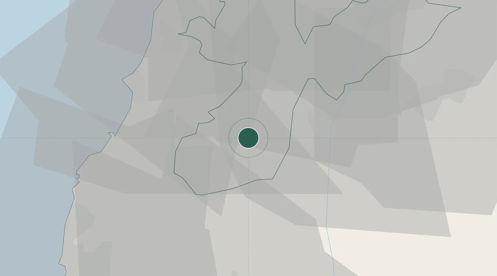
Hub Profile
Region
Z
Location
Nearby Logistics Neighbours
Ports
- 1Sayda38 km
- 2Sidon/zahrani Terminal42 km
- 3Haifa56 km
- 4Bayrut82 km
- 5Hadera92 km
Airports
Trade Zones
DatabookThe Record of Consolidated Knowledge
Israel beyond logistics?