Transport Functions
Port
Airport
Postal
Hub Profile
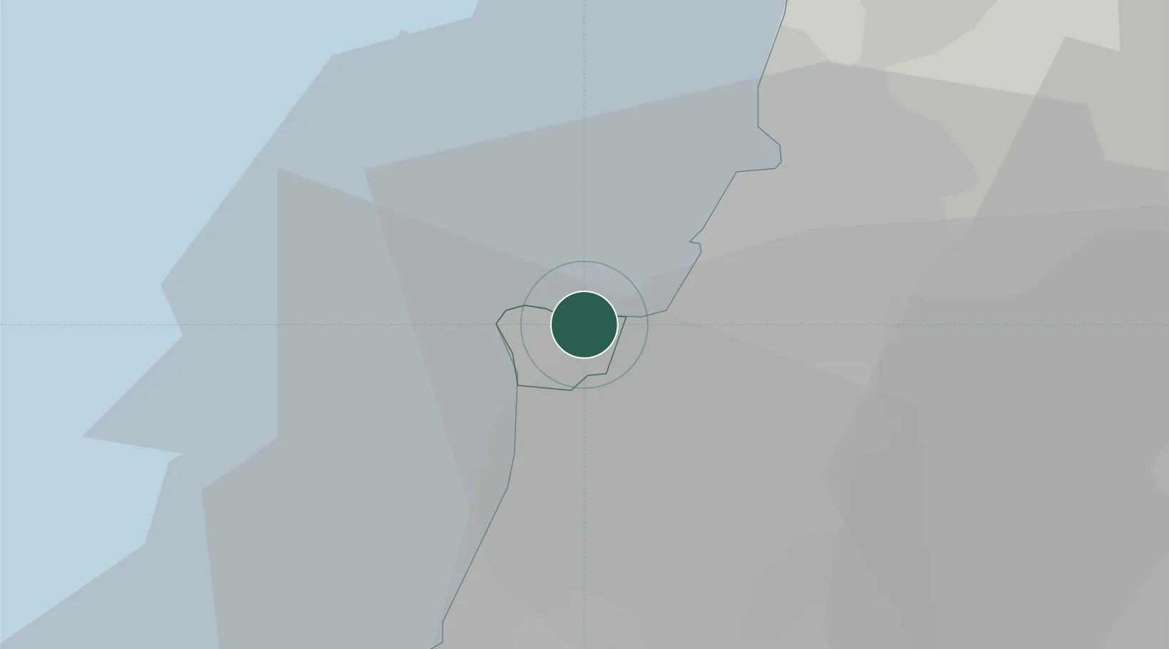
Place type
National capital
Region
Beyrouth
Population
1,916,100
Time zone
Asia/Beirut
Elevation
40 m
Logistics facilities
3
Location
Nearby Logistics Neighbours
Ports
- 1Selaata44 km
- 2Sidon/zahrani Terminal45 km
- 3Sayda47 km
- 4Tarabulus67 km
- 5Tartus115 km
Airports
- 1Beirut Rafic Hariri International Airport10 km
- 2Rayak Air Base43 km
- 3Wujah Al Hajar Air Base45 km
- 4Rene Mouawad Air Base89 km
- 5Rosh Pina Airport102 km
Trade Zones
DatabookThe Record of Consolidated Knowledge
Lebanon beyond logistics?