Transport Functions
Multimodal
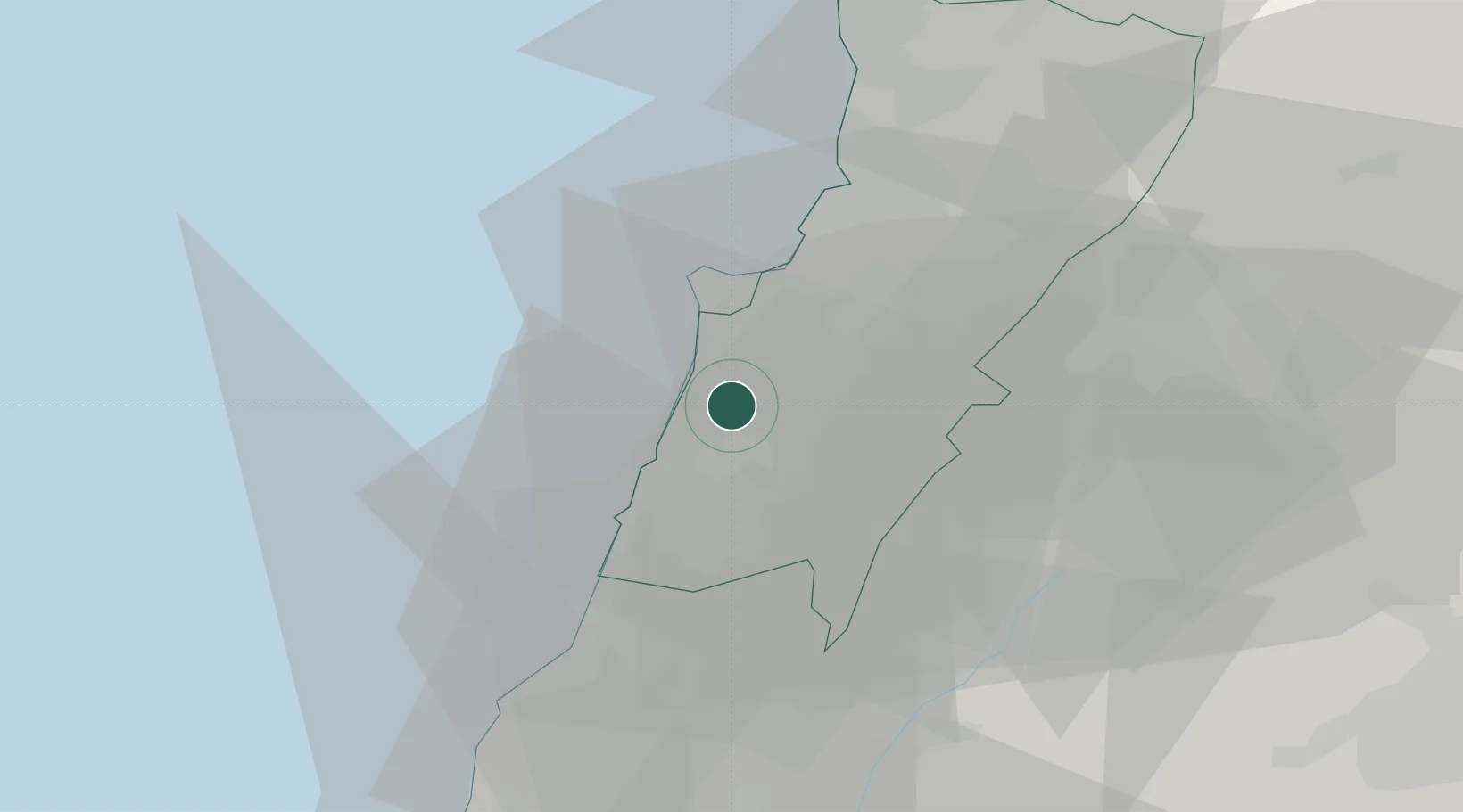
Hub Profile
Place type
Populated place
Region
Mont-Liban
Time zone
Asia/Beirut
Elevation
452 m
Location
Nearby Logistics Neighbours
Ports
- 1Bayrut15 km
- 2Sidon/zahrani Terminal32 km
- 3Sayda33 km
- 4Selaata59 km
- 5Tarabulus81 km
Airports
Trade Zones
DatabookThe Record of Consolidated Knowledge
Lebanon beyond logistics?