Medium airport · Japan
JMSDF Hachinohe Air Base / Hachinohe AirportRJSH
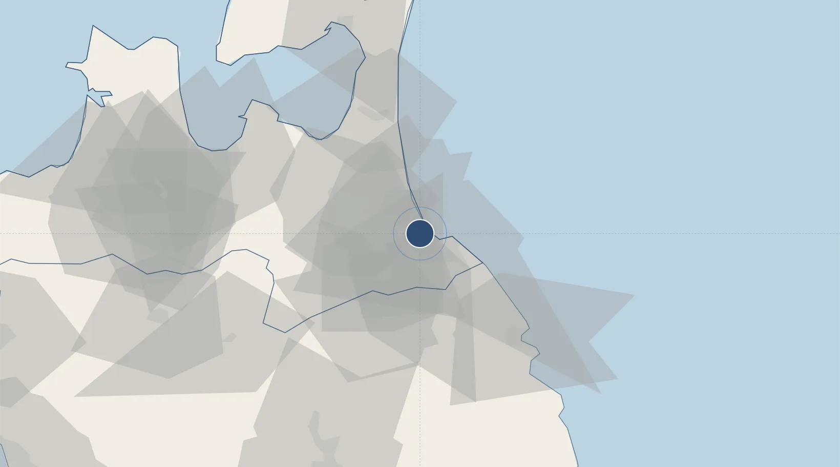
40.5512°, 141.4654°
7,380 ft
Longest runway
3
Runways
152 ft
Elevation
Runway & Layout

Radio Frequencies
ATIS
24.58 MHz
TWR
126.2 MHz
APP
120.7 MHz
MISAWA APP
DEP
125.3 MHz
MISAWA DEP
Navaids
HVT TACAN Hachinohe 108.60 MHz
JC NDB Hachinohe 381 kHz
Runways · 3
| Runway | Dimensions | Surface | True heading | Lit |
|---|---|---|---|---|
| 07/25 | 7,380 × 148ft | Asphalt | 064° | ✓ |
| 06/24 | 2,548 × 45ft | Asphalt | 048° | — |
| 12/30 | 1,180 × 50ft | Asphalt | 109° | — |
Airport Specifications
IATA code
HHE
ICAO code
RJSH
Airport class
Medium airport
Scheduled service
No
Runway surface
Asphalt
Served city
Hachinohe
Location
Nearby Logistics Neighbours
Airports
- 1Misawa Airport / Misawa Air Base19 km
- 2Aomori Airport69 km
- 3Odate Noshiro Airport101 km
- 4Iwate Hanamaki Airport128 km
- 5Hakodate Airport146 km
Cities
- 1Hachinohe2 km
- 2Ninohe35 km
- 3Yokohama, Aomori62 km
- 4Hachimantai69 km
- 5Tono137 km
Ports
- 1Hachinohe Ko7 km
- 2Aomori Ko68 km
- 3Miyako111 km
- 4Noshiro Ko130 km
- 5Kamaishi Ko148 km
DatabookThe Record of Consolidated Knowledge
Japan beyond logistics?