Channel & Berth Profile
Pilotage, Tugs & Services
Pilotage compulsoryNO
Pilotage availableYES
Tug assistanceYES
Shore powerYES
Potable waterYES
MedicalYES
Garbage disposalNO
Facilities & Capabilities
Container—
Ro-Ro—
Liquid bulk—
Dry bulk—
Oil terminal—
Break bulk—
Dry dock—
RepairsNO
BunkeringYES
Rail linkYES
Dangerous cargo—
ISPS security—
Harbour Specifications
Harbour size
Small
Harbour type
Coastal (Breakwater)
Shelter
Fair
Water body
North Pacific Ocean
Tidal range
1 m
Pilotage
No
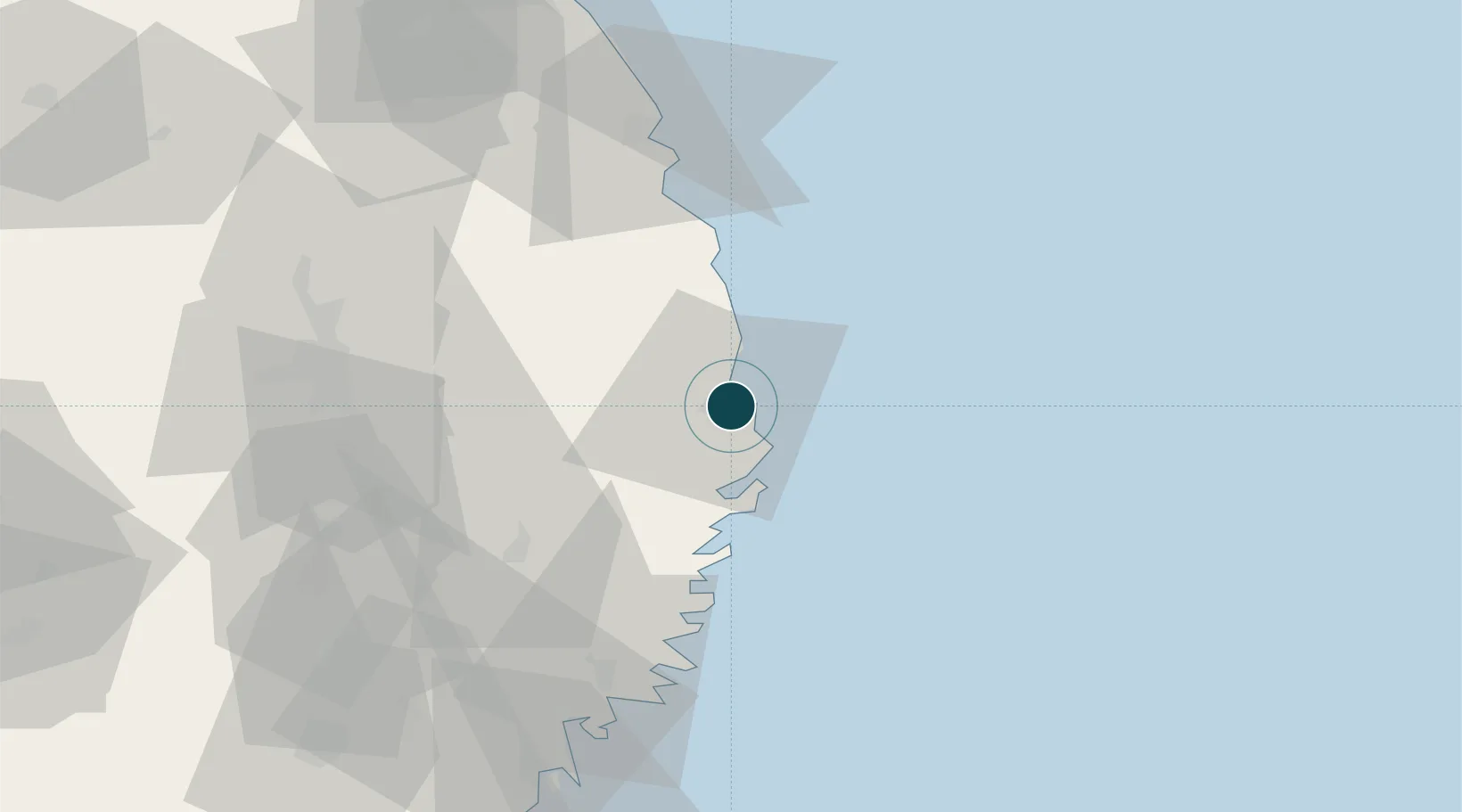
Location
Nearby Logistics Neighbours
Ports
- 1Kamaishi Ko41 km
- 2Ofunato68 km
- 3Kesennuma Ko91 km
- 4Hachinohe Ko107 km
- 5Onagawa139 km
Cities
- 1Kamaishi41 km
- 2Hachimantai44 km
- 3Tono52 km
- 4Ofunato67 km
- 5Kitakami84 km
Airports
- 1Iwate Hanamaki Airport76 km
- 2JMSDF Hachinohe Air Base / Hachinohe Airport111 km
- 3Misawa Airport / Misawa Air Base130 km
- 4Odate Noshiro Airport151 km
- 5Akita Airport151 km
DatabookThe Record of Consolidated Knowledge
Japan beyond logistics?