Seaport · Japan
Imabari KoJPIMB
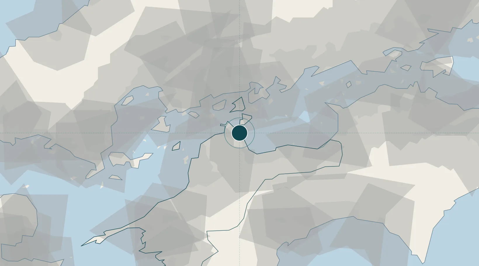
34.0667°, 133.0167°
7.9 m
Channel depth
1
Container terminals
38.2
Port liner connectivity
Channel & Berth Profile
Pilotage, Tugs & Services
Pilotage compulsoryNO
Pilotage availableYES
Pilotage advisableYES
Tug assistanceYES
Potable waterYES
MedicalYES
Facilities & Capabilities
Container—
Ro-Ro—
Liquid bulk—
Dry bulk—
Oil terminal—
Break bulk—
Dry dockNO
RepairsNO
BunkeringYES
Rail linkYES
Dangerous cargo—
ISPS security—
Harbour Specifications
Harbour size
Small
Harbour type
Coastal (Breakwater)
Shelter
Fair
Water body
Sea of Japan; North Pacific Ocean
Tidal range
3 m
Pilotage
No
Liner Connectivity
38.2
PLSCI
Port Liner Shipping Connectivity Index for Imabari Ko, as published by UNCTAD for the latest available quarter. Higher values indicate stronger scheduled liner-shipping integration.
Shown relative to the highest per-port PLSCI in the dataset (1,657.9).
Location
Container Terminals · 1
IMABARI TOMITA NO. 1/2 BERTH
TOM IMABARI PORT AUTHORITY
Nearby Logistics Neighbours
Ports
- 1Namikata12 km
- 2Kikuma Ko17 km
- 3Niihama26 km
- 4Habu Ko29 km
- 5Onomichi-Itozaki38 km
Cities
- 1Yoshiumi8 km
- 2Toyo18 km
- 3Niihama29 km
- 4Toon, Ehime34 km
- 5Matsuyama37 km
Airports
- 1Matsuyama Airport40 km
- 2Hiroshima Airport42 km
- 3Iwakuni Kintaikyo Airport71 km
- 4Kochi Ryoma Airport84 km
- 5Takamatsu Airport93 km
Trade Zones
- 1Saijō Agricultural Innovation City General Special Zone20 km
- 2Onomichi Regional Medical Cooperation Promotion Special Zone39 km
- 3Hiroshima Environmental Tourism Model Urban Development Promotion Special Zone51 km
- 4Hiroshima Prefecture Imabari City National Strategic Special Zone63 km
- 5Kagawa Medical Welfare General Special Zone75 km
DatabookThe Record of Consolidated Knowledge
Japan beyond logistics?