UN/LOCODE hub · Japan
JPIMB
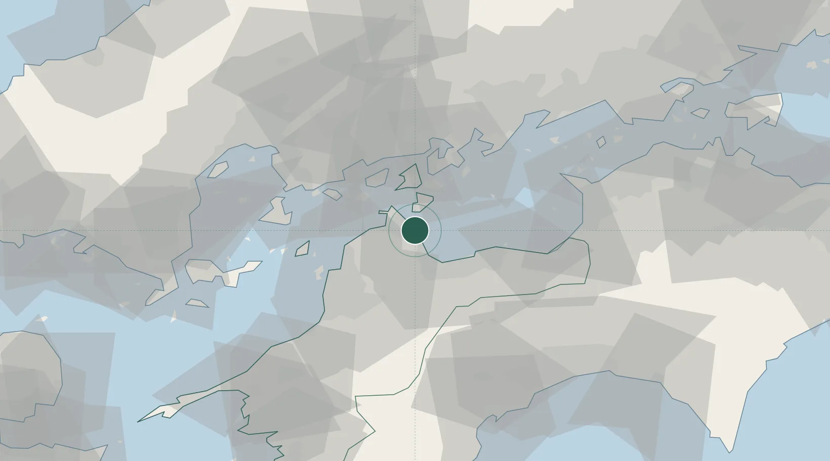
Imabari
34.0506°, 133.0276°
170,986
Population
1
Transport functions
1
Container terminals
Transport Functions
Port
Hub Profile
Place type
Provincial seat
Region
Ehime
Population
170,986
Time zone
Asia/Tokyo
Elevation
6 m
Logistics facilities
3
Container terminals
1
Location
Nearby Logistics Neighbours
Cities
- 1Yoshiumi9 km
- 2Toyo16 km
- 3Niihama27 km
- 4Toon, Ehime33 km
- 5Matsuyama37 km
Airports
- 1Matsuyama Airport39 km
- 2Hiroshima Airport44 km
- 3Iwakuni Kintaikyo Airport73 km
- 4Kochi Ryoma Airport82 km
- 5Takamatsu Airport93 km
Trade Zones
- 1Saijō Agricultural Innovation City General Special Zone18 km
- 2Onomichi Regional Medical Cooperation Promotion Special Zone41 km
- 3Hiroshima Environmental Tourism Model Urban Development Promotion Special Zone52 km
- 4Hiroshima Prefecture Imabari City National Strategic Special Zone64 km
- 5Kagawa Medical Welfare General Special Zone75 km
DatabookThe Record of Consolidated Knowledge
Japan beyond logistics?