Channel & Berth Profile
Pilotage, Tugs & Services
Pilotage compulsoryNO
Pilotage availableYES
Potable waterYES
MedicalYES
Facilities & Capabilities
Container—
Ro-Ro—
Liquid bulk—
Dry bulk—
Oil terminal—
Break bulk—
Dry dock—
RepairsNO
BunkeringYES
Rail link—
Dangerous cargo—
ISPS security—
Harbour Specifications
Harbour size
Very Small
Harbour type
Coastal (Natural)
Shelter
Fair
Water body
Sea of Japan; North Pacific Ocean
Tidal range
4 m
Overhead limit
No
Pilotage
No
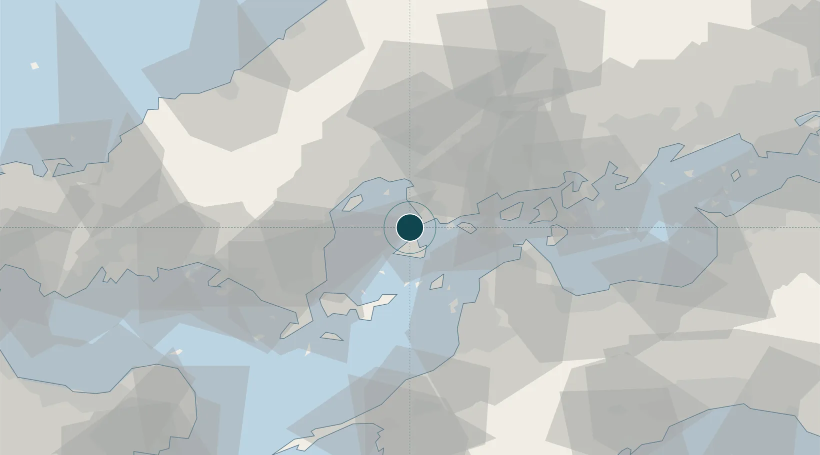
Location
Nearby Logistics Neighbours
Ports
- 1Kure6 km
- 2Kanokawa Ko8 km
- 3Hiroshima19 km
- 4Iwakuni Ko25 km
- 5Kikuma Ko34 km
Cities
- 1Aki-gun/Hiroshima17 km
- 2Hiroshima19 km
- 3Otake26 km
- 4Iwakuni26 km
- 5Tsuzu Yamaguchi33 km
Airports
- 1Iwakuni Kintaikyo Airport25 km
- 2Matsuyama Airport43 km
- 3Hiroshima Airport46 km
- 4Iwami Airport86 km
- 5JASDF Hofu Airfield91 km
Trade Zones
- 1Hiroshima Prefecture Imabari City National Strategic Special Zone23 km
- 2Onomichi Regional Medical Cooperation Promotion Special Zone54 km
- 3Yamaguchi Next-Generation Agricultural Production Structure Establishment Special Zone58 km
- 4Saijō Agricultural Innovation City General Special Zone66 km
- 5Hiroshima Environmental Tourism Model Urban Development Promotion Special Zone79 km
DatabookThe Record of Consolidated Knowledge
Japan beyond logistics?