Channel & Berth Profile
Pilotage, Tugs & Services
Pilotage compulsoryNO
Pilotage availableYES
Local assistanceYES
Tug assistanceYES
Salvage tugsNO
Potable waterYES
Diesel bunkersYES
MedicalYES
Facilities & Capabilities
Container—
Ro-Ro—
Liquid bulk—
Dry bulk—
Oil terminal—
Break bulk—
Dry dock—
Repairs—
BunkeringYES
Rail link—
Dangerous cargo—
ISPS security—
Harbour Specifications
Harbour size
Very Small
Harbour type
Coastal (Natural)
Shelter
Good
Water body
Sea of Japan; North Pacific Ocean
Tidal range
8 m
Pilotage
No
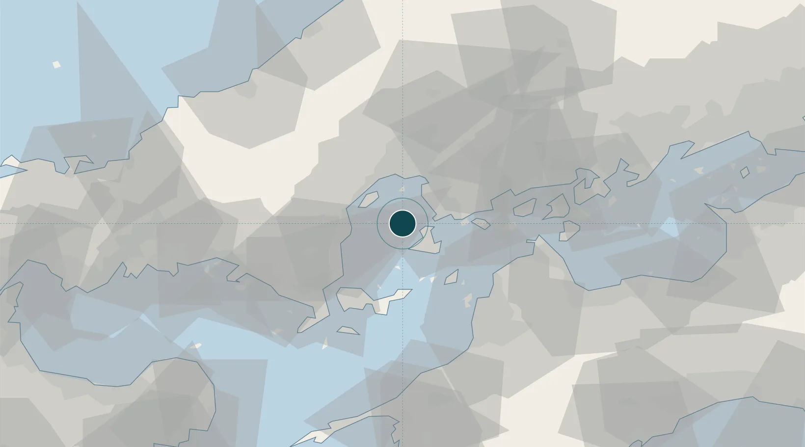
Location
Nearby Logistics Neighbours
Ports
- 1Mitsukojima8 km
- 2Kure12 km
- 3Iwakuni Ko17 km
- 4Hiroshima19 km
- 5Yanai38 km
Cities
- 1Iwakuni18 km
- 2Otake18 km
- 3Aki-gun/Hiroshima19 km
- 4Hiroshima20 km
- 5Tsuzu Yamaguchi26 km
Airports
- 1Iwakuni Kintaikyo Airport18 km
- 2Matsuyama Airport47 km
- 3Hiroshima Airport53 km
- 4Iwami Airport81 km
- 5JASDF Hofu Airfield83 km
Trade Zones
- 1Hiroshima Prefecture Imabari City National Strategic Special Zone22 km
- 2Yamaguchi Next-Generation Agricultural Production Structure Establishment Special Zone52 km
- 3Onomichi Regional Medical Cooperation Promotion Special Zone61 km
- 4Saijō Agricultural Innovation City General Special Zone73 km
- 5Morisato Kairenkan Takatsu River Basin Hometown Concept Special Zone80 km
DatabookThe Record of Consolidated Knowledge
Japan beyond logistics?