Transport Functions
Port
Multimodal
Hub Profile
Place type
Populated place
Region
Ehime
Time zone
Asia/Tokyo
Elevation
6 m
Location
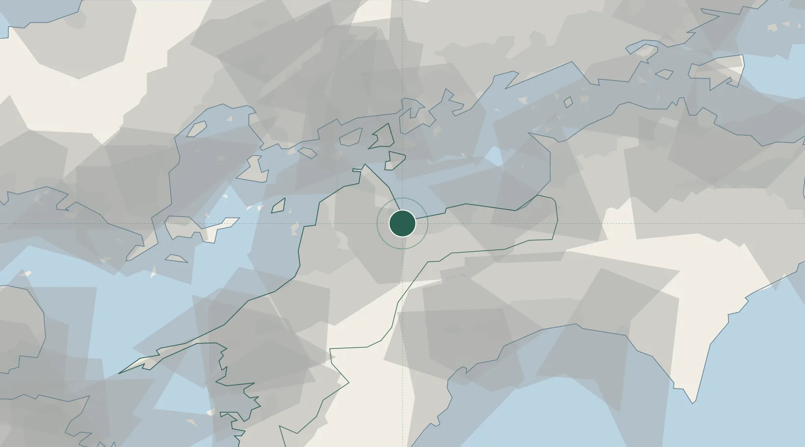
Nearby Logistics Neighbours
Cities
- 1Imabari16 km
- 2Niihama22 km
- 3Yoshiumi25 km
- 4Toon, Ehime25 km
- 5Matsuyama36 km
Ports
- 1Imabari Ko18 km
- 2Niihama20 km
- 3Kikuma Ko27 km
- 4Namikata28 km
- 5Matsuyama36 km
Airports
- 1Matsuyama Airport37 km
- 2Hiroshima Airport60 km
- 3Kochi Ryoma Airport68 km
- 4Iwakuni Kintaikyo Airport81 km
- 5Takamatsu Airport92 km
Trade Zones
- 1Saijō Agricultural Innovation City General Special Zone8 km
- 2Onomichi Regional Medical Cooperation Promotion Special Zone56 km
- 3Hiroshima Environmental Tourism Model Urban Development Promotion Special Zone63 km
- 4Kagawa Medical Welfare General Special Zone77 km
- 5Hiroshima Prefecture Imabari City National Strategic Special Zone78 km
DatabookThe Record of Consolidated Knowledge
Japan beyond logistics?