Specialized Zone · Japan
Hiroshima Environmental Tourism Model Urban Development Promotion Special Zone Inactive
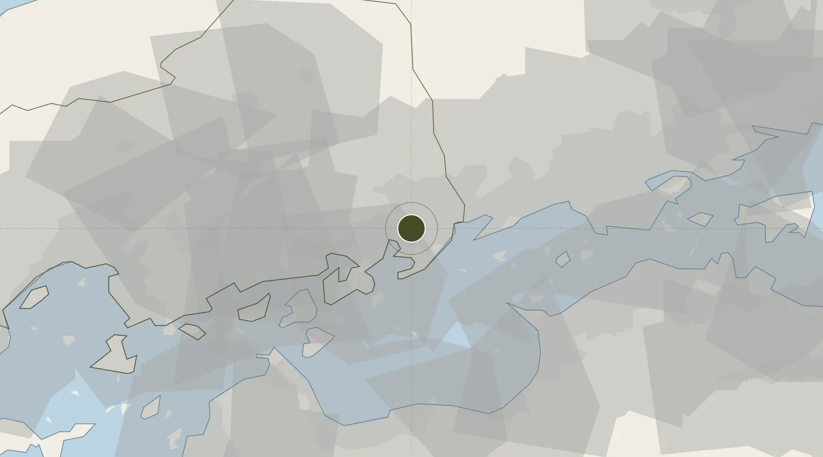
34.4557°, 133.3059°
847,963 ha
Zone area
11.9 km
Nearest port
35.5 km
Nearest airport
Gateway access
Zone profile
Zone type
Specialized Zone
Specialization
Tourism
Region
Hiroshima
Status
Inactive
Management
Public
Operator
Hiroshima Prefecture Government
Legal framework
Prime Minister's 2012 Special Zone Designation
Location
Nearby Logistics Neighbours
Ports
- 1Fukuyama12 km
- 2Onomichi-Itozaki15 km
- 3Habu Ko22 km
- 4Mizushima Ko41 km
- 5Takuma44 km
Airports
- 1Hiroshima Airport36 km
- 2Okayama Momotaro Airport60 km
- 3Takamatsu Airport70 km
- 4Matsuyama Airport89 km
- 5Iwakuni Kintaikyo Airport103 km
Cities
- 1Fukuyama, Hiroshima12 km
- 2Asakuchi26 km
- 3Mizushima35 km
- 4Tamashima35 km
- 5Yoshiumi44 km
Trade Zones
- 1Onomichi Regional Medical Cooperation Promotion Special Zone25 km
- 2Hyper & Green Innovation Mizushima Complex General Special Zone38 km
- 3Kagawa Medical Welfare General Special Zone47 km
- 4Saijō Agricultural Innovation City General Special Zone59 km
- 5Okayama-type Sustainable Socio-Economic Model Construction Comprehensive Special Zone60 km
DatabookThe Record of Consolidated Knowledge
Japan beyond logistics?