Channel & Berth Profile
Pilotage, Tugs & Services
Pilotage compulsoryYES
Pilotage availableYES
Pilotage advisableYES
Tug assistanceYES
Diesel bunkersNO
Facilities & Capabilities
Container—
Ro-Ro—
Liquid bulk—
Dry bulk—
Oil terminal—
Break bulk—
Dry dock—
Repairs—
BunkeringNO
Rail linkYES
Dangerous cargo—
ISPS security—
Harbour Specifications
Harbour size
Very Small
Harbour type
Open Roadstead
Shelter
Poor
Water body
Sea of Japan; North Pacific Ocean
Tidal range
4 m
Overhead limit
Yes
Pilotage
Yes
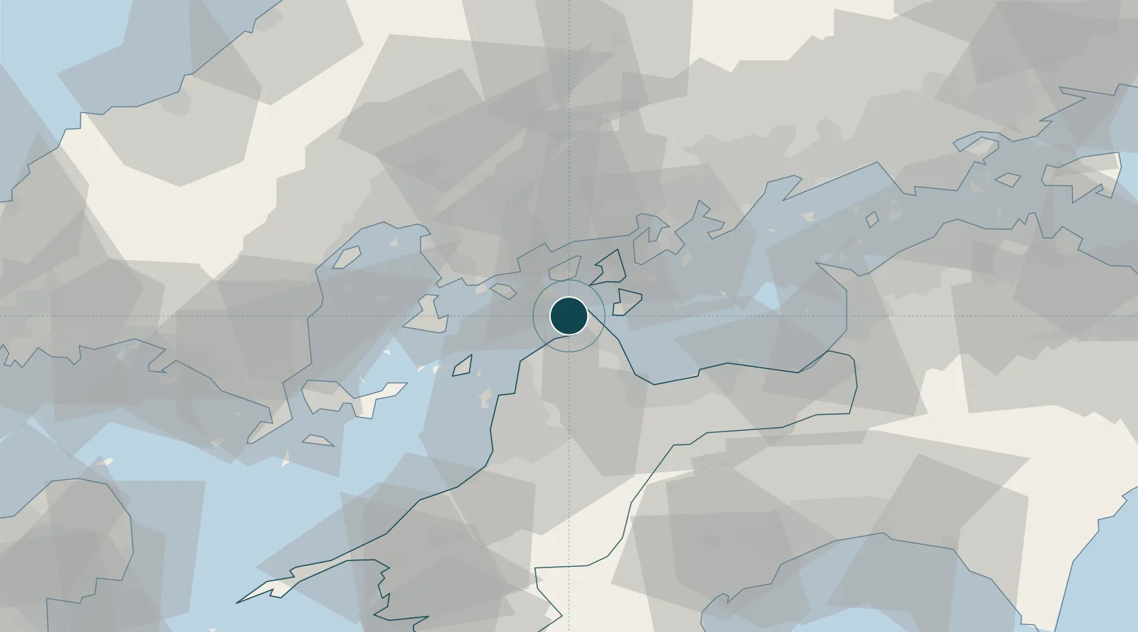
Location
Nearby Logistics Neighbours
Ports
- 1Kikuma Ko11 km
- 2Imabari Ko12 km
- 3Habu Ko32 km
- 4Kure35 km
- 5Matsuyama35 km
Cities
- 1Yoshiumi12 km
- 2Imabari14 km
- 3Toyo28 km
- 4Matsuyama34 km
- 5Toon, Ehime37 km
Airports
- 1Hiroshima Airport36 km
- 2Matsuyama Airport37 km
- 3Iwakuni Kintaikyo Airport60 km
- 4Kochi Ryoma Airport95 km
- 5Takamatsu Airport103 km
Trade Zones
- 1Saijō Agricultural Innovation City General Special Zone32 km
- 2Onomichi Regional Medical Cooperation Promotion Special Zone35 km
- 3Hiroshima Prefecture Imabari City National Strategic Special Zone51 km
- 4Hiroshima Environmental Tourism Model Urban Development Promotion Special Zone53 km
- 5Kagawa Medical Welfare General Special Zone83 km
DatabookThe Record of Consolidated Knowledge
Japan beyond logistics?