Channel & Berth Profile
Pilotage, Tugs & Services
Pilotage compulsoryNO
Pilotage availableYES
Pilotage advisableYES
Tug assistanceYES
Salvage tugsNO
Shore powerNO
Potable waterYES
MedicalYES
Facilities & Capabilities
Container—
Ro-Ro—
Liquid bulk—
Dry bulk—
Oil terminal—
Break bulk—
Dry dock—
Repairs—
BunkeringYES
Rail linkYES
Dangerous cargo—
ISPS security—
Harbour Specifications
Harbour size
Very Small
Harbour type
Coastal (Breakwater)
Shelter
Fair
Water body
Sea of Japan; North Pacific Ocean
Pilotage
No
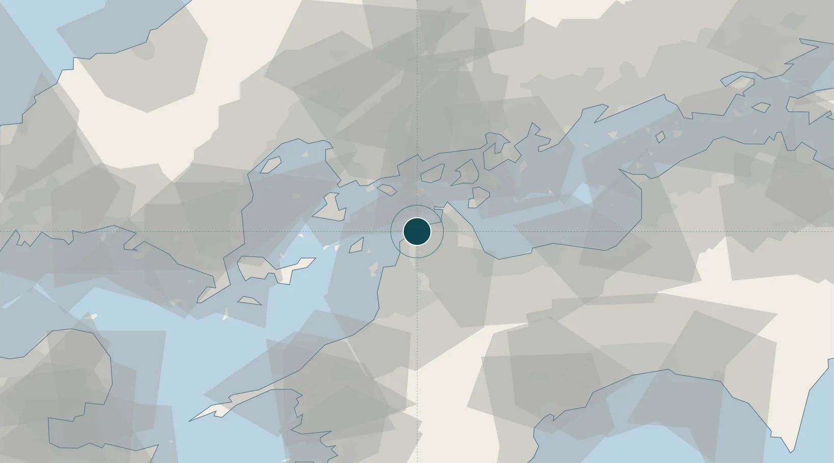
Location
Nearby Logistics Neighbours
Ports
- 1Namikata11 km
- 2Imabari Ko17 km
- 3Matsuyama24 km
- 4Mitsukojima34 km
- 5Kure34 km
Cities
- 1Imabari18 km
- 2Yoshiumi22 km
- 3Matsuyama23 km
- 4Toyo27 km
- 5Toon, Ehime28 km
Airports
- 1Matsuyama Airport26 km
- 2Hiroshima Airport46 km
- 3Iwakuni Kintaikyo Airport55 km
- 4Kochi Ryoma Airport95 km
- 5Takamatsu Airport111 km
Trade Zones
- 1Saijō Agricultural Innovation City General Special Zone33 km
- 2Onomichi Regional Medical Cooperation Promotion Special Zone46 km
- 3Hiroshima Prefecture Imabari City National Strategic Special Zone52 km
- 4Hiroshima Environmental Tourism Model Urban Development Promotion Special Zone64 km
- 5Yamaguchi Next-Generation Agricultural Production Structure Establishment Special Zone83 km
DatabookThe Record of Consolidated Knowledge
Japan beyond logistics?