Seaport · Japan
Kamaishi KoJPKIS
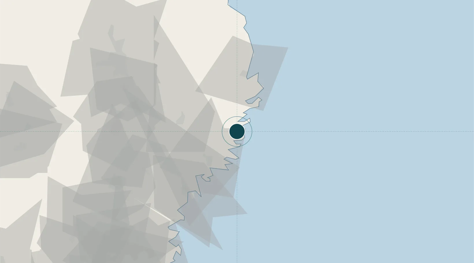
39.2667°, 141.9000°
14.0 m
Channel depth
1
Container terminals
19.4
Port liner connectivity
Channel & Berth Profile
Pilotage, Tugs & Services
Pilotage compulsoryNO
Pilotage availableYES
Pilotage advisableYES
Tug assistanceYES
Salvage tugsNO
Shore powerYES
Potable waterYES
Diesel bunkersYES
MedicalYES
Facilities & Capabilities
Container—
Ro-Ro—
Liquid bulk—
Dry bulk—
Oil terminal—
Break bulk—
Dry dock—
RepairsNO
Bunkering—
Rail linkYES
Dangerous cargo—
ISPS security—
Harbour Specifications
Harbour size
Small
Harbour type
Coastal (Natural)
Shelter
Fair
Water body
North Pacific Ocean
Tidal range
1 m
Pilotage
No
Liner Connectivity
19.4
PLSCI
Port Liner Shipping Connectivity Index for Kamaishi Ko, as published by UNCTAD for the latest available quarter. Higher values indicate stronger scheduled liner-shipping integration.
Shown relative to the highest per-port PLSCI in the dataset (1,657.9).
Location
Container Terminals · 1
KAMAISHI PUBLIC WHARF
KPW KAMAISHI PORT AUTHORITY
Nearby Logistics Neighbours
Ports
- 1Ofunato28 km
- 2Miyako41 km
- 3Kesennuma Ko52 km
- 4Onagawa99 km
- 5Ishinomaki Ko109 km
Cities
- 1Ofunato27 km
- 2Tono32 km
- 3Kitakami68 km
- 4Oshu68 km
- 5Hachimantai79 km
Airports
- 1Iwate Hanamaki Airport68 km
- 2JASDF Matsushima Air Base113 km
- 3JMSDF Hachinohe Air Base / Hachinohe Airport148 km
- 4Akita Airport150 km
- 5Sendai Airport152 km
DatabookThe Record of Consolidated Knowledge
Japan beyond logistics?