Channel & Berth Profile
Pilotage, Tugs & Services
MedicalYES
Facilities & Capabilities
Container—
Ro-Ro—
Liquid bulk—
Dry bulk—
Oil terminal—
Break bulk—
Dry dock—
Repairs—
Bunkering—
Rail linkYES
Dangerous cargo—
ISPS security—
Harbour Specifications
Harbour size
Very Small
Harbour type
Coastal (Breakwater)
Shelter
Good
Water body
North Pacific Ocean
Tidal range
4 m
Overhead limit
No
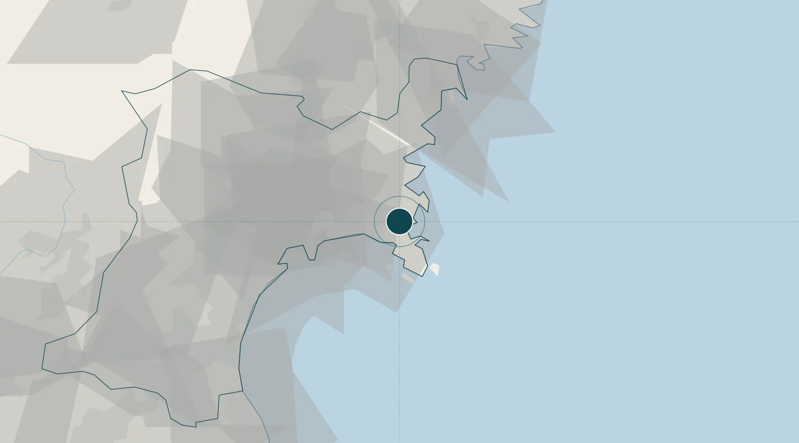
Location
Nearby Logistics Neighbours
Ports
- 1Ishinomaki Ko13 km
- 2Sendai-Shiogama39 km
- 3Kesennuma Ko48 km
- 4Ofunato71 km
- 5Soma81 km
Cities
- 1Tome-Shi27 km
- 2Sendaishiogama43 km
- 3Sendai, Miyagi43 km
- 4Tomiya50 km
- 5Ofunato72 km
Airports
- 1JASDF Matsushima Air Base21 km
- 2Sendai Airport58 km
- 3Yamagata Airport94 km
- 4Iwate Hanamaki Airport112 km
- 5Shonai Airport150 km
DatabookThe Record of Consolidated Knowledge
Japan beyond logistics?