Transport Functions
Road
Multimodal
Hub Profile
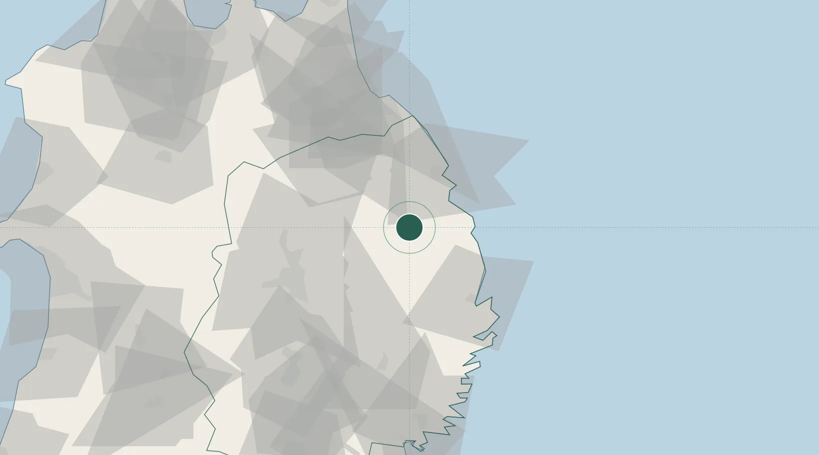
Place type
Populated place
Region
Iwate
Time zone
Asia/Tokyo
Elevation
139 m
Location
Nearby Logistics Neighbours
Ports
- 1Miyako44 km
- 2Hachinohe Ko66 km
- 3Kamaishi Ko79 km
- 4Ofunato100 km
- 5Kesennuma Ko121 km
Airports
DatabookThe Record of Consolidated Knowledge
Japan beyond logistics?