Transport Functions
Multimodal
Hub Profile
Place type
Provincial seat
Region
Iwate
Population
26,110
Time zone
Asia/Tokyo
Elevation
328 m
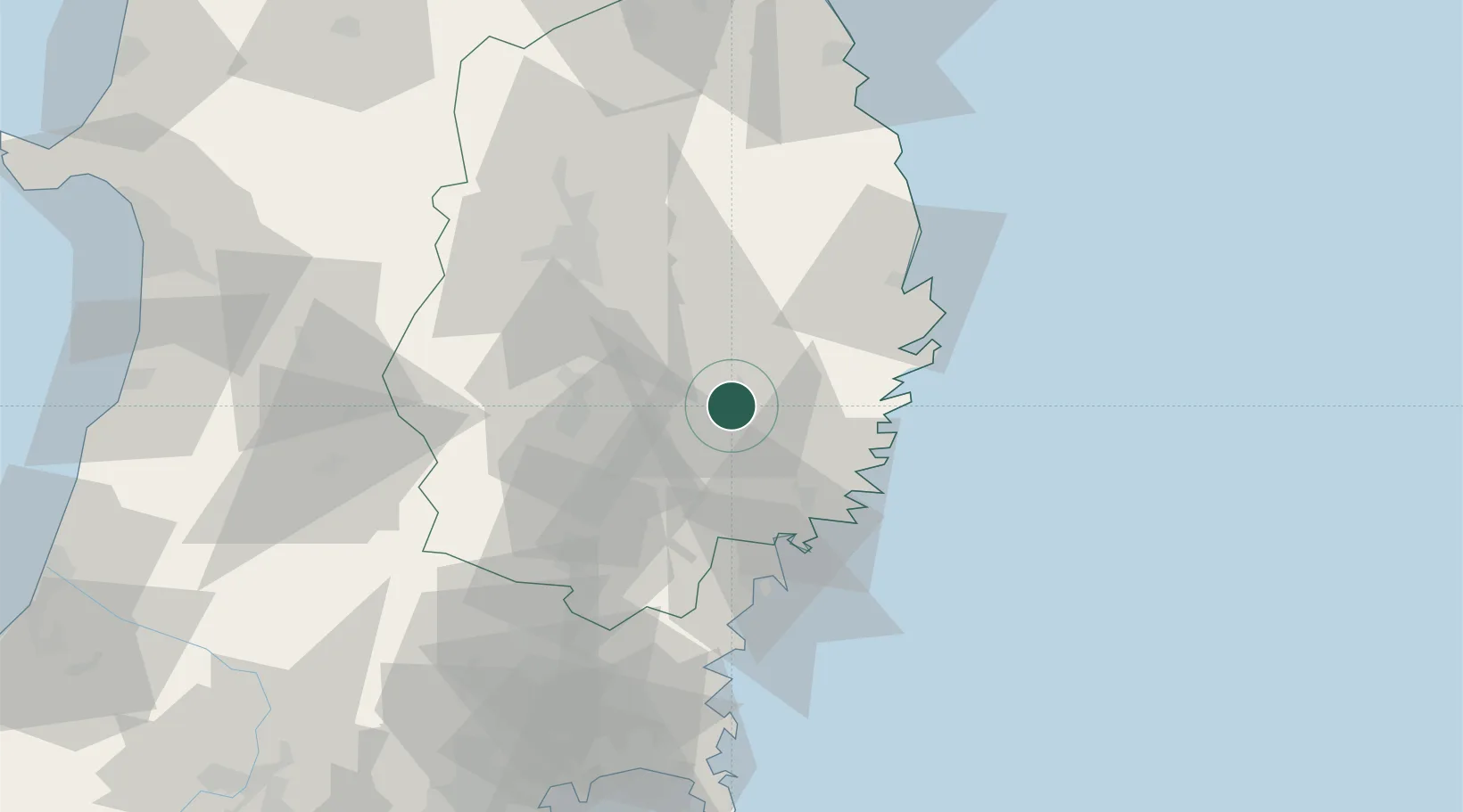
Location
Nearby Logistics Neighbours
Cities
- 1Kamaishi31 km
- 2Ofunato32 km
- 3Kitakami36 km
- 4Oshu40 km
- 5Hachimantai71 km
Ports
- 1Kamaishi Ko32 km
- 2Ofunato34 km
- 3Kesennuma Ko50 km
- 4Miyako52 km
- 5Onagawa97 km
Airports
- 1Iwate Hanamaki Airport36 km
- 2JASDF Matsushima Air Base105 km
- 3Akita Airport118 km
- 4JMSDF Hachinohe Air Base / Hachinohe Airport137 km
- 5Odate Noshiro Airport139 km
DatabookThe Record of Consolidated Knowledge
Japan beyond logistics?