Transport Functions
Rail
Road
Hub Profile
Place type
Provincial seat
Region
Iwate
Population
112,937
Time zone
Asia/Tokyo
Elevation
36 m
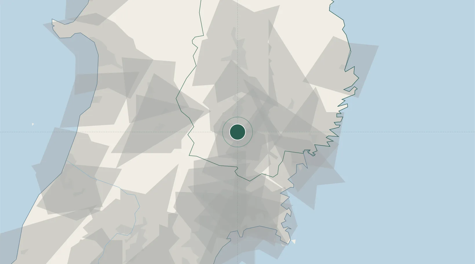
Location
Nearby Logistics Neighbours
Cities
- 1Kitakami17 km
- 2Tono40 km
- 3Ofunato51 km
- 4Yuzawa, Akita55 km
- 5Tome-Shi55 km
Ports
- 1Kesennuma Ko50 km
- 2Ofunato53 km
- 3Kamaishi Ko68 km
- 4Onagawa81 km
- 5Ishinomaki Ko83 km
Airports
- 1Iwate Hanamaki Airport33 km
- 2JASDF Matsushima Air Base81 km
- 3Akita Airport95 km
- 4Yamagata Airport104 km
- 5Sendai Airport112 km
DatabookThe Record of Consolidated Knowledge
Japan beyond logistics?