Transport Functions
Road
Multimodal
Hub Profile
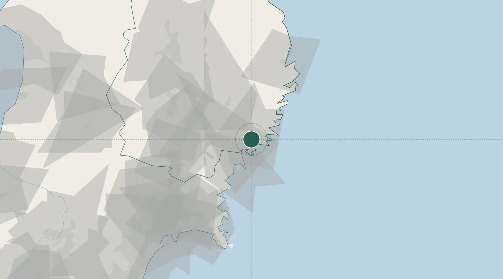
Place type
Provincial seat
Region
Iwate
Population
35,452
Time zone
Asia/Tokyo
Elevation
7 m
Location
Nearby Logistics Neighbours
Ports
- 1Kesennuma Ko24 km
- 2Kamaishi Ko27 km
- 3Miyako67 km
- 4Onagawa72 km
- 5Ishinomaki Ko82 km
Airports
- 1Iwate Hanamaki Airport64 km
- 2JASDF Matsushima Air Base85 km
- 3Sendai Airport124 km
- 4Yamagata Airport138 km
- 5Akita Airport143 km
DatabookThe Record of Consolidated Knowledge
Japan beyond logistics?