Medium airport · Japan
JASDF Matsushima Air BaseRJST
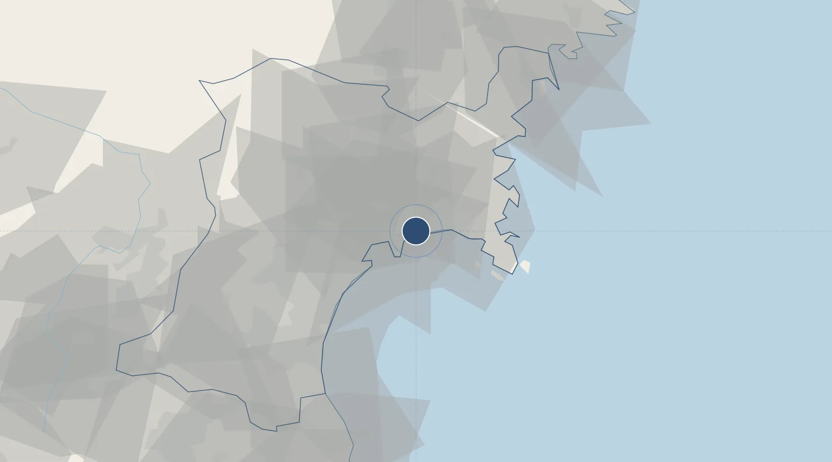
38.4049°, 141.2200°
8,860 ft
Longest runway
2
Runways
7 ft
Elevation
Runway & Layout

Radio Frequencies
TWR
126.2 MHz
GND
27.58 MHz
APP
120.1 MHz
DEP
120.1 MHz
GCA
134.1 MHz
RDR
TCA
123.85 MHz
Navaids
MXT TACAN Matsushima 114.30 MHz
Runways · 2
| Runway | Dimensions | Surface | True heading | Lit |
|---|---|---|---|---|
| 07/25 | 8,860 × 150ft | Concrete | 058° | ✓ |
| 15/33 | 4,920 × 150ft | Concrete | 140° | — |
Airport Specifications
ICAO code
RJST
Airport class
Medium airport
Scheduled service
No
Runway surface
Concrete
Served city
Ishinomaki
Location
Nearby Logistics Neighbours
Airports
- 1Sendai Airport40 km
- 2Yamagata Airport74 km
- 3Iwate Hanamaki Airport114 km
- 4Shonai Airport133 km
- 5Fukushima Airport148 km
Cities
- 1Sendaishiogama23 km
- 2Sendai, Miyagi23 km
- 3Tome-Shi28 km
- 4Tomiya29 km
- 5Oshu81 km
Ports
- 1Ishinomaki Ko8 km
- 2Sendai-Shiogama19 km
- 3Onagawa21 km
- 4Kesennuma Ko61 km
- 5Soma68 km
DatabookThe Record of Consolidated Knowledge
Japan beyond logistics?