UN/LOCODE hub · Japan
JPKIS
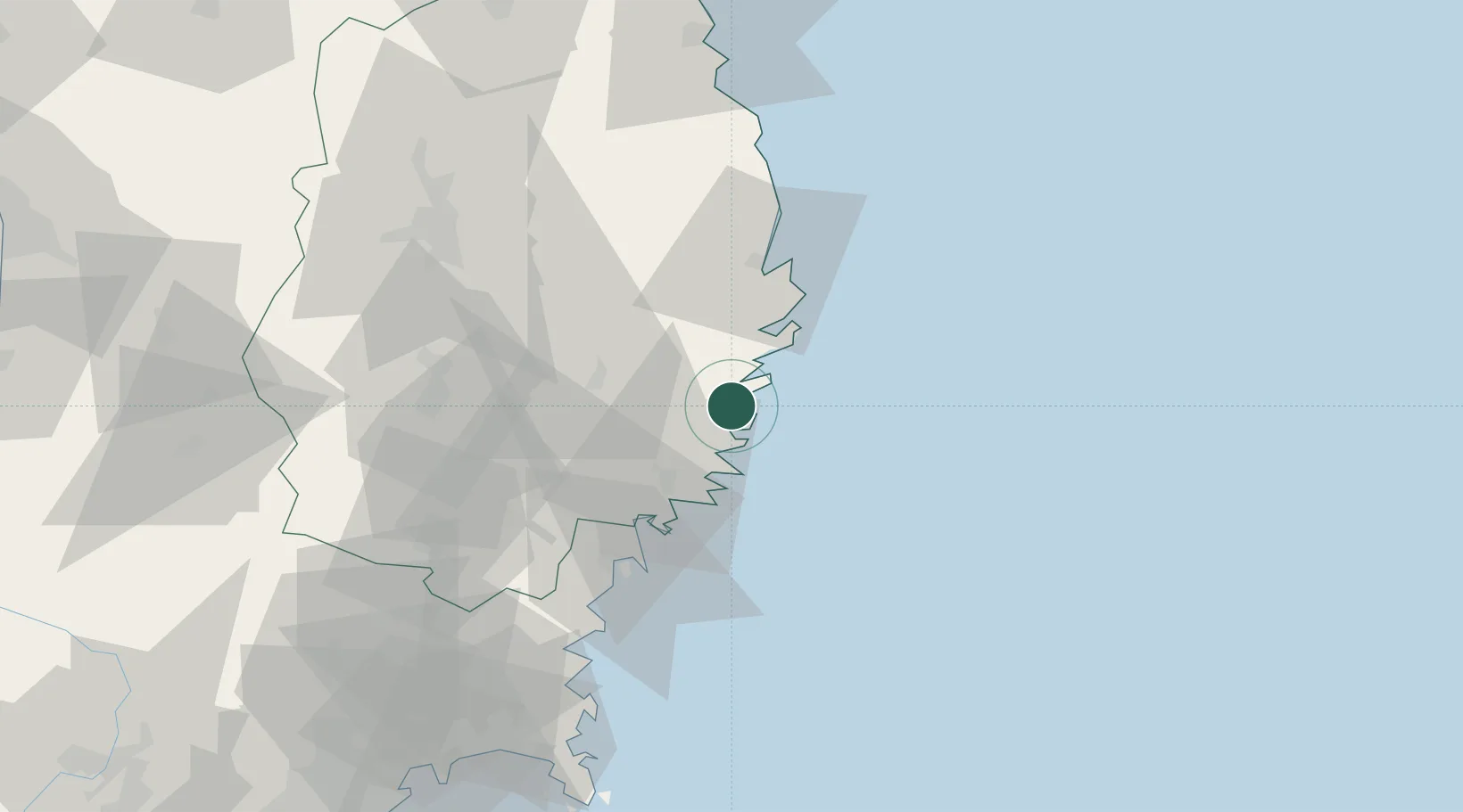
Kamaishi
39.2699°, 141.8841°
43,107
Population
1
Transport functions
1
Container terminals
Transport Functions
Port
Hub Profile
Place type
Provincial seat
Region
Iwate
Population
43,107
Time zone
Asia/Tokyo
Elevation
25 m
Logistics facilities
2
Container terminals
1
Location
Nearby Logistics Neighbours
Cities
- 1Ofunato27 km
- 2Tono31 km
- 3Kitakami66 km
- 4Oshu67 km
- 5Hachimantai78 km
Ports
- 1Ofunato28 km
- 2Miyako41 km
- 3Kesennuma Ko51 km
- 4Onagawa99 km
- 5Ishinomaki Ko109 km
Airports
- 1Iwate Hanamaki Airport67 km
- 2JASDF Matsushima Air Base112 km
- 3JMSDF Hachinohe Air Base / Hachinohe Airport147 km
- 4Akita Airport148 km
- 5Sendai Airport151 km
DatabookThe Record of Consolidated Knowledge
Japan beyond logistics?