Channel & Berth Profile
Pilotage, Tugs & Services
Pilotage compulsoryNO
Pilotage availableYES
Pilotage advisableYES
Tug assistanceYES
Potable waterYES
MedicalYES
Facilities & Capabilities
Container—
Ro-Ro—
Liquid bulk—
Dry bulk—
Oil terminal—
Break bulk—
Dry dock—
RepairsNO
BunkeringYES
Rail linkYES
Dangerous cargo—
ISPS security—
Harbour Specifications
Harbour size
Very Small
Harbour type
Coastal (Natural)
Shelter
Fair
Water body
North Pacific Ocean
Tidal range
2 m
Overhead limit
Yes
Pilotage
No
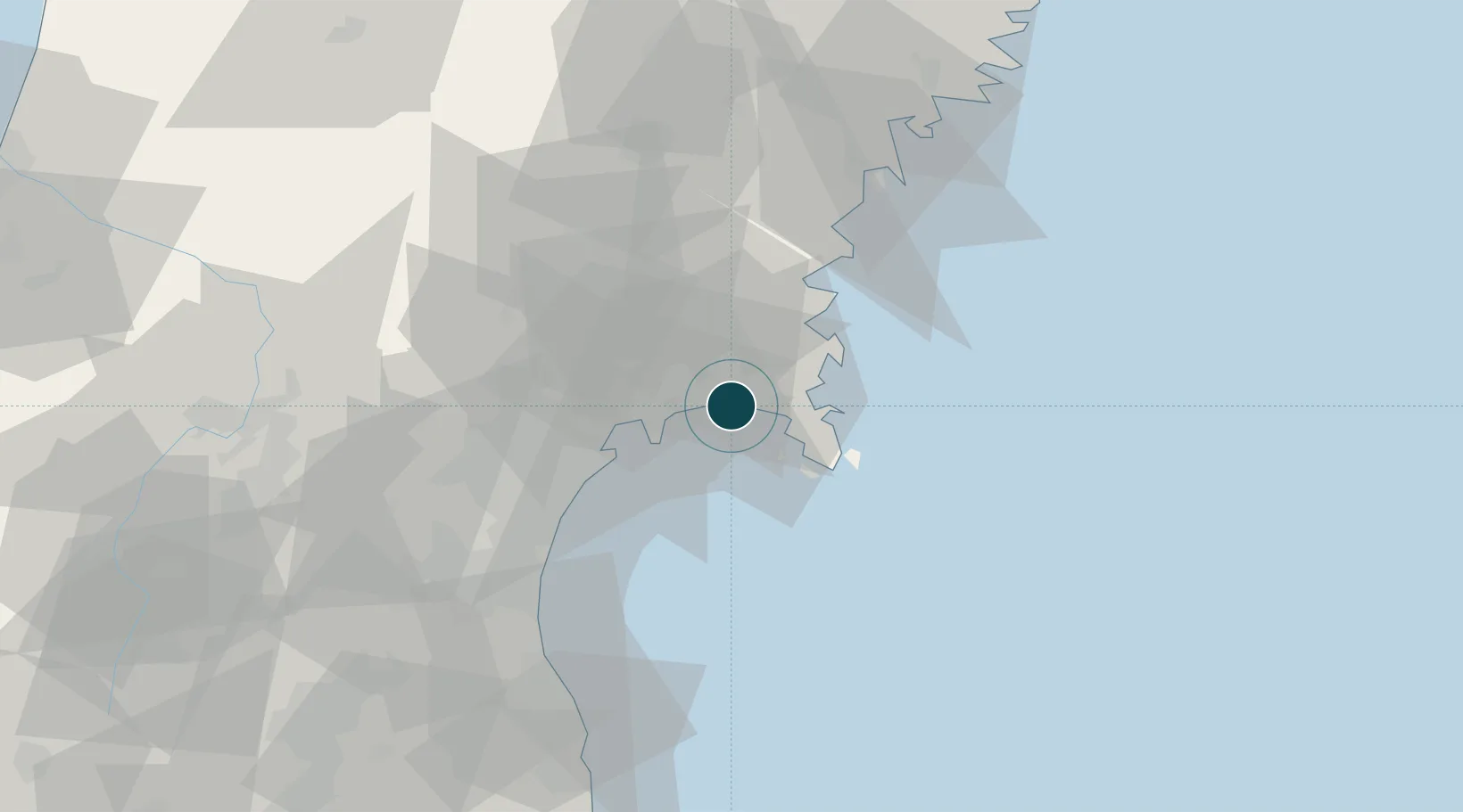
Location
Nearby Logistics Neighbours
Ports
- 1Onagawa13 km
- 2Sendai-Shiogama26 km
- 3Kesennuma Ko57 km
- 4Soma71 km
- 5Ofunato81 km
Cities
- 1Tome-Shi28 km
- 2Sendaishiogama30 km
- 3Sendai, Miyagi30 km
- 4Tomiya38 km
- 5Ofunato82 km
Airports
- 1JASDF Matsushima Air Base8 km
- 2Sendai Airport45 km
- 3Yamagata Airport82 km
- 4Iwate Hanamaki Airport116 km
- 5Shonai Airport141 km
DatabookThe Record of Consolidated Knowledge
Japan beyond logistics?