Transport Functions
Port
Rail
Road
Hub Profile
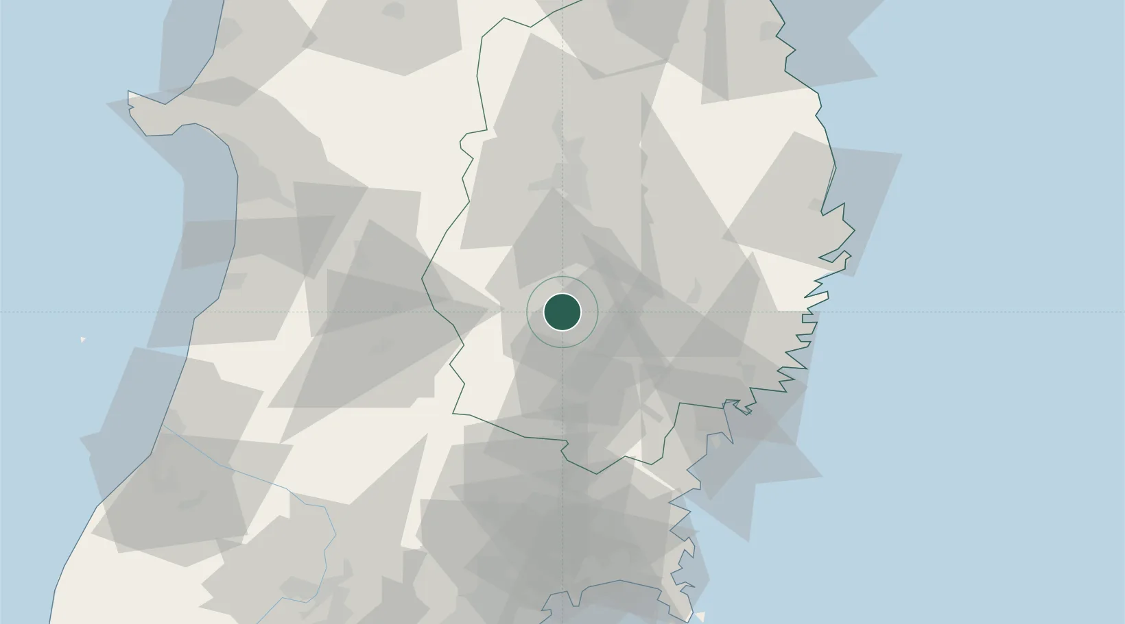
Place type
Provincial seat
Region
Iwate
Population
93,045
Time zone
Asia/Tokyo
Elevation
63 m
Location
Nearby Logistics Neighbours
Cities
- 1Oshu17 km
- 2Tono36 km
- 3Yuzawa, Akita55 km
- 4Ofunato57 km
- 5Kamaishi66 km
Ports
- 1Ofunato59 km
- 2Kesennuma Ko62 km
- 3Kamaishi Ko68 km
- 4Miyako84 km
- 5Onagawa97 km
Airports
- 1Iwate Hanamaki Airport16 km
- 2Akita Airport86 km
- 3JASDF Matsushima Air Base98 km
- 4Yamagata Airport116 km
- 5Odate Noshiro Airport120 km
DatabookThe Record of Consolidated Knowledge
Japan beyond logistics?