Transport Functions
Multimodal
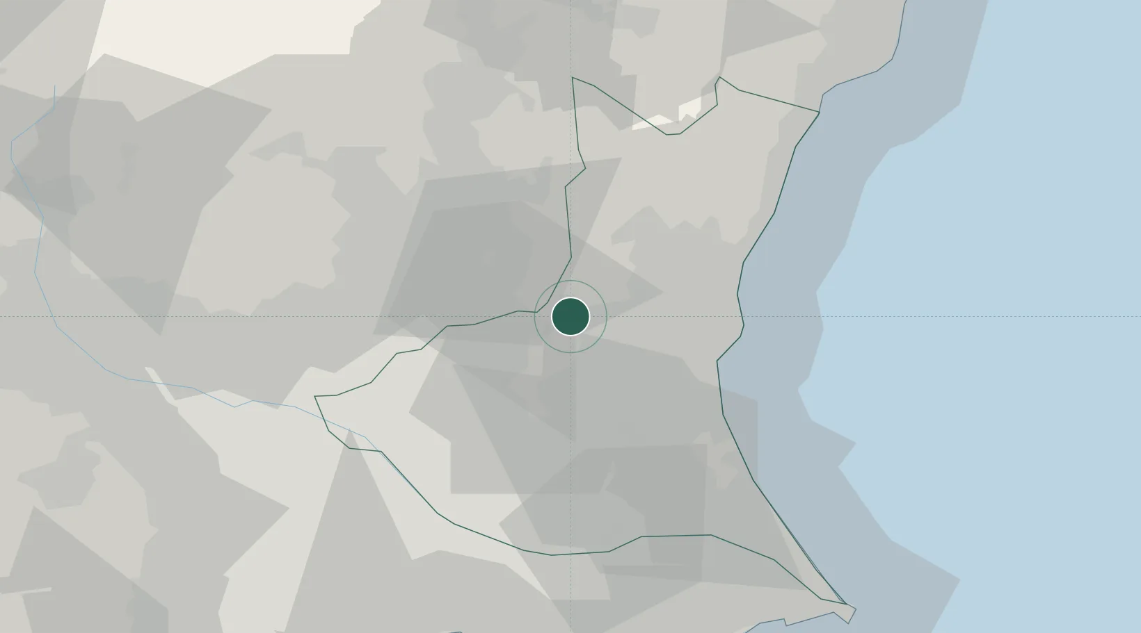
Hub Profile
Place type
Provincial seat
Region
Ibaraki
Population
73,664
Time zone
Asia/Tokyo
Elevation
177 m
Location
Nearby Logistics Neighbours
Ports
- 1Hitachi38 km
- 2Kashima Ko65 km
- 3Funabashi84 km
- 4Onahama Ko85 km
- 5Chiba Ko90 km
Airports
- 1Ibaraki International Airport28 km
- 2Utsunomiya Airport36 km
- 3JMSDF Shimofusa Air Base68 km
- 4Narita International Airport70 km
- 5Iruma Air Base95 km
DatabookThe Record of Consolidated Knowledge
Japan beyond logistics?