Free Trade Zone · Japan
Special International Zone for Asian Headquarters Active
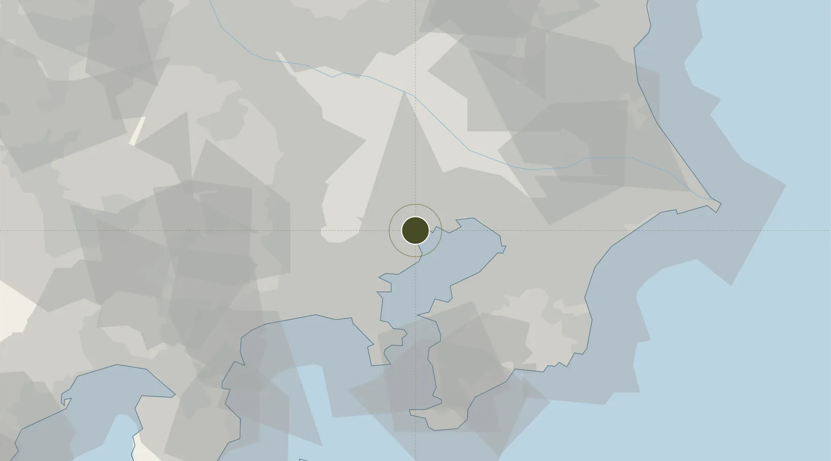
35.6236°, 139.7748°
922 ha
Zone area
5.3 km
Nearest port
8.3 km
Nearest airport
Gateway access
Zone profile
Zone type
Free Trade Zone
Region
Kanagawa
Status
Active
Management
Private
Operator
Tokyu Group
Legal framework
Designation of the Comprehensive Zone for International Strategies, “Special Zone for Asian Headquarters”,December 2011
Location
Nearby Logistics Neighbours
Ports
- 1Tokyo Ko5 km
- 2Kawasaki Ko14 km
- 3Funabashi17 km
- 4Yokohama Ko26 km
- 5Chiba Ko27 km
Airports
Cities
- 1Tokyo1 km
- 2Aomi1 km
- 3Ariake, Tokyo1 km
- 4Minato-Ku, Tokyo5 km
- 5Shinagawa, Tokyo6 km
Trade Zones
- 1Tokyo Area National Strategic Special Zone4 km
- 2KING Skyfront, Tonomachi International Strategic Zone10 km
- 3Keihin Coastal Area Life Innovation International Strategic Comprehensive Special Zone18 km
- 4Saitama Next-Generation Automobile Smart Energy Special Zone33 km
- 5Kashiwanoha Campus Special Zone34 km
DatabookThe Record of Consolidated Knowledge
Japan beyond logistics?