Channel & Berth Profile
Pilotage, Tugs & Services
Pilotage availableYES
Tug assistanceYES
Shore powerYES
Potable waterYES
Facilities & Capabilities
Container—
Ro-Ro—
Liquid bulk—
Dry bulk—
Oil terminal—
Break bulk—
Dry dock—
RepairsNO
BunkeringYES
Rail linkYES
Dangerous cargo—
ISPS security—
Harbour Specifications
Harbour size
Very Small
Harbour type
Coastal (Breakwater)
Shelter
Fair
Water body
North Pacific Ocean
Tidal range
3 m
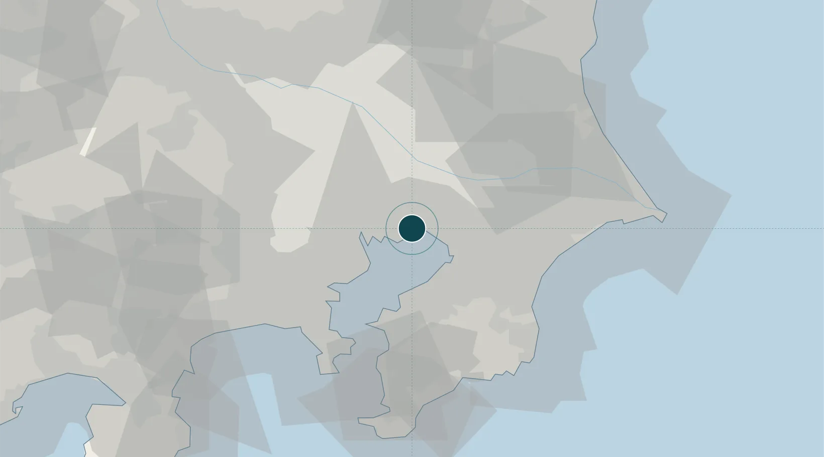
Location
Nearby Logistics Neighbours
Ports
- 1Chiba Ko14 km
- 2Tokyo Ko18 km
- 3Kawasaki Ko25 km
- 4Kisarazu Ko34 km
- 5Yokohama Ko41 km
Cities
- 1Urayasu5 km
- 2Narashino6 km
- 3Koto-Ku11 km
- 4Katsushika-Ku12 km
- 5Sumida Tokyo14 km
Airports
Trade Zones
DatabookThe Record of Consolidated Knowledge
Japan beyond logistics?