Transport Functions
Multimodal
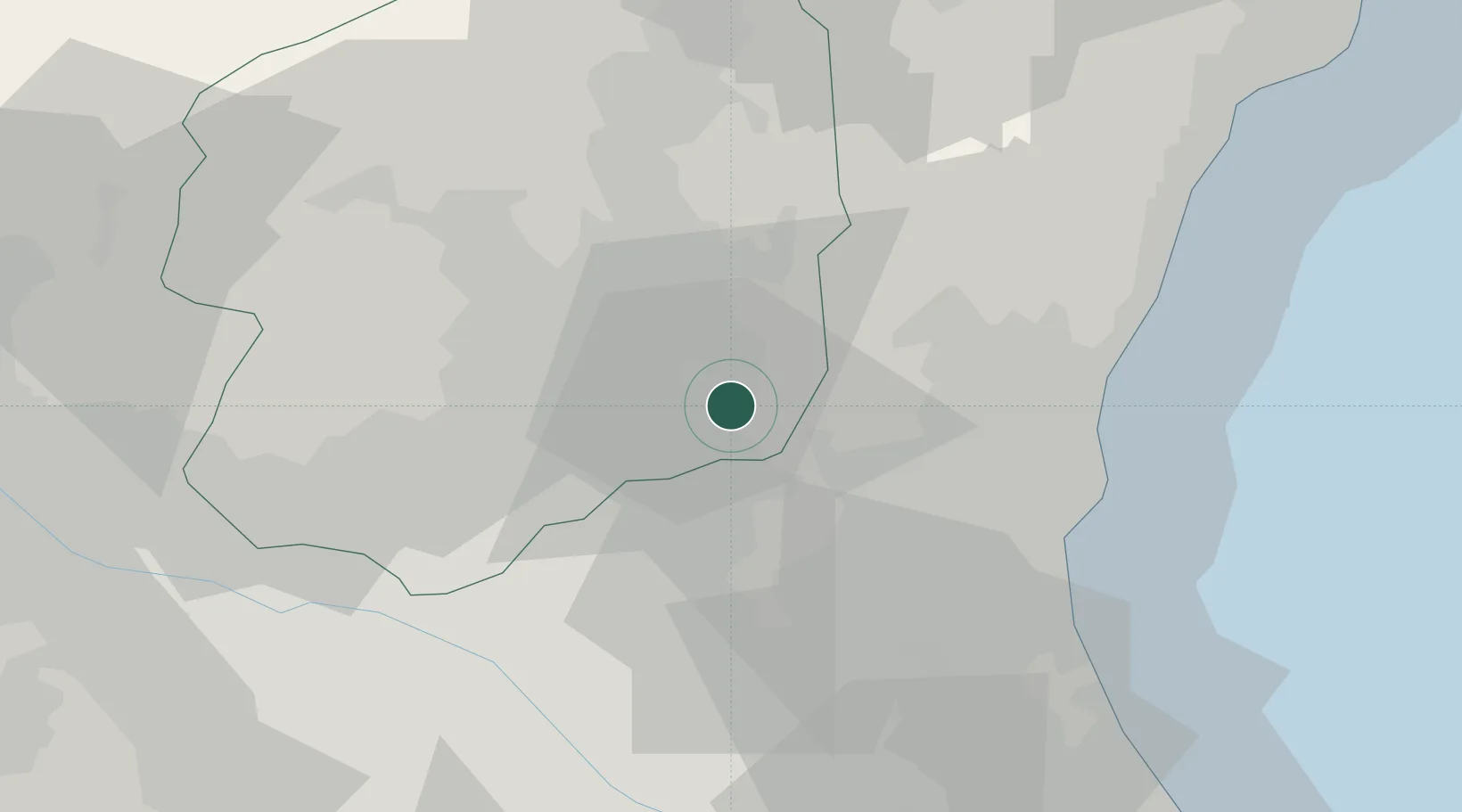
Hub Profile
Place type
Populated place
Region
Tochigi
Population
26,045
Time zone
Asia/Tokyo
Elevation
79 m
Location
Nearby Logistics Neighbours
Ports
- 1Hitachi48 km
- 2Kashima Ko80 km
- 3Onahama Ko88 km
- 4Funabashi90 km
- 5Tokyo Ko94 km
Airports
- 1Utsunomiya Airport21 km
- 2Ibaraki International Airport42 km
- 3JMSDF Shimofusa Air Base75 km
- 4Narita International Airport82 km
- 5Fukushima Airport90 km
Trade Zones
- 1Tsukuba International Strategic Comprehensive Special Zone50 km
- 2Kashiwanoha Campus Special Zone65 km
- 3Saitama Next-Generation Automobile Smart Energy Special Zone74 km
- 4Gunma Cancer Treatment Technology Regional Revitalization Comprehensive Special Zone95 km
- 5Tokyo Area National Strategic Special Zone95 km
DatabookThe Record of Consolidated Knowledge
Japan beyond logistics?