Seaport · Japan
Chiba KoJPCHB
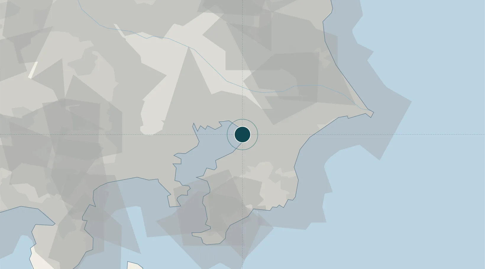
35.5833°, 140.0667°
17.1 m
Channel depth
1
Container terminals
44.5
Port liner connectivity
Channel & Berth Profile
Pilotage, Tugs & Services
Pilotage compulsoryYES
Pilotage availableYES
Pilotage advisableYES
Tug assistanceYES
Salvage tugsNO
Shore powerYES
Potable waterYES
Diesel bunkersYES
MedicalYES
Facilities & Capabilities
Container—
Ro-Ro—
Liquid bulk—
Dry bulk—
Oil terminal—
Break bulk—
Dry dockNO
RepairsNO
BunkeringYES
Rail linkYES
Dangerous cargo—
ISPS security—
Harbour Specifications
Harbour size
Small
Harbour type
Coastal (Breakwater)
Shelter
Good
Water body
North Pacific Ocean
Tidal range
2 m
Pilotage
Yes
Liner Connectivity
44.5
PLSCI
Port Liner Shipping Connectivity Index for Chiba Ko, as published by UNCTAD for the latest available quarter. Higher values indicate stronger scheduled liner-shipping integration.
Shown relative to the highest per-port PLSCI in the dataset (1,657.9).
Location
Container Terminals · 1
CHIBA CHUO CONTAINER TERMINAL
CHUGC CHIBA PORT AUTHORITY
Nearby Logistics Neighbours
Ports
- 1Funabashi14 km
- 2Kawasaki Ko29 km
- 3Kisarazu Ko29 km
- 4Tokyo Ko30 km
- 5Yokohama Ko46 km
Cities
- 1Narashino10 km
- 2Yotsukaido, Chiba12 km
- 3Ichihara13 km
- 4Urayasu17 km
- 5Yachiyo17 km
Airports
Trade Zones
DatabookThe Record of Consolidated Knowledge
Japan beyond logistics?