Economic Revitalization Project · Japan
Tokyo Area National Strategic Special Zone Active
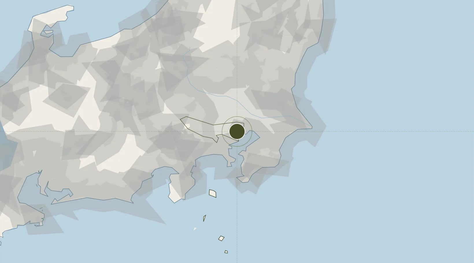
35.6557°, 139.7634°
782,000 ha
Zone area
1.7 km
Nearest port
12.0 km
Nearest airport
Gateway access
Zone profile
Zone type
Economic Revitalization Project
Region
Tokyo
Status
Active
Management
Public
Operator
National Strategic Special Zone Council for the Greater Tokyo Area
Legal framework
May 2014 Prime Minister's Designation as National Strategic Special Zone
Location
Nearby Logistics Neighbours
Ports
- 1Tokyo Ko2 km
- 2Funabashi17 km
- 3Kawasaki Ko17 km
- 4Yokohama Ko28 km
- 5Chiba Ko29 km
Airports
Cities
- 1Ariake, Tokyo3 km
- 2Chiyoda-ku3 km
- 3Tokyo4 km
- 4Aomi5 km
- 5Minato-Ku, Tokyo5 km
Trade Zones
- 1Special International Zone for Asian Headquarters4 km
- 2KING Skyfront, Tonomachi International Strategic Zone13 km
- 3Keihin Coastal Area Life Innovation International Strategic Comprehensive Special Zone21 km
- 4Saitama Next-Generation Automobile Smart Energy Special Zone30 km
- 5Kashiwanoha Campus Special Zone31 km
DatabookThe Record of Consolidated Knowledge
Japan beyond logistics?