Economic Revitalization Project · Japan
Sapporo Contents Special Zone Inactive
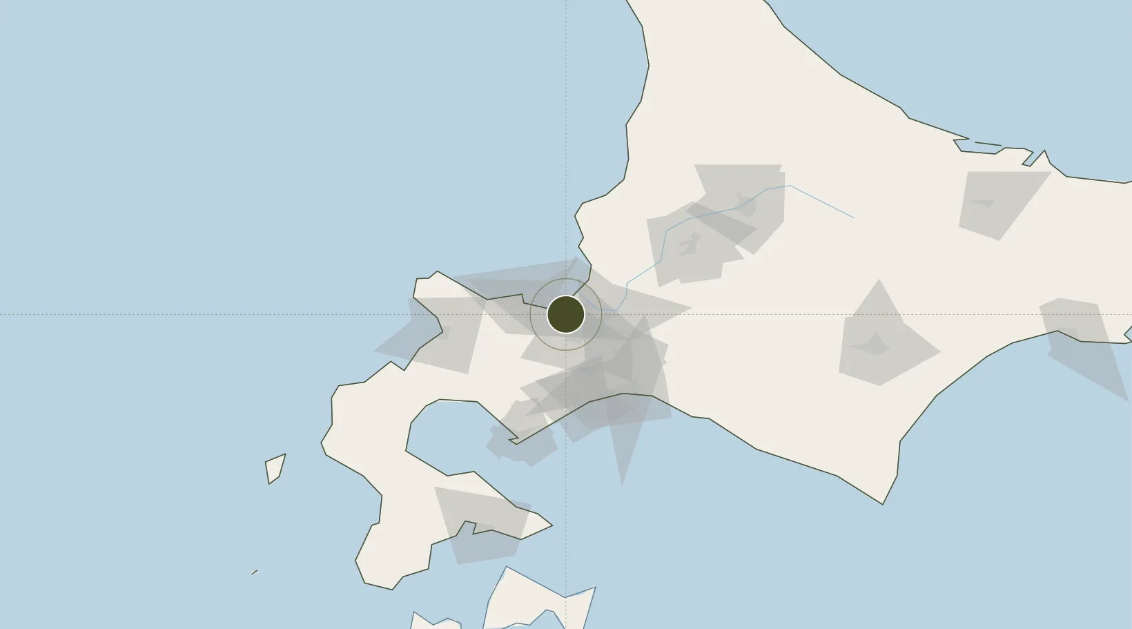
43.1039°, 141.2826°
13 ha
Zone area
12.5 km
Nearest port
8.2 km
Nearest airport
Gateway access
Zone profile
Zone type
Economic Revitalization Project
Region
Hokkaidō
Status
Inactive
Management
Public
Operator
City of Sapporo Authority
Legal framework
Hokkaido Development Law ( Law No.126,1950 )
Location
Nearby Logistics Neighbours
Ports
- 1Ishikari Bay New Port13 km
- 2Otaru Ko24 km
- 3Wakkanai48 km
- 4Tomakomai Ko60 km
- 5Muroran Ko88 km
Airports
- 1Sapporo Okadama Airport8 km
- 2JASDF Chitose Air Base46 km
- 3New Chitose Airport49 km
- 4Asahikawa Airport113 km
- 5Hakodate Airport153 km
Cities
- 1Sapporo7 km
- 2Ishikari10 km
- 3Ishikariwan Shinko10 km
- 4Iwamizawa39 km
- 5Kutchan50 km
DatabookThe Record of Consolidated Knowledge
Japan beyond logistics?